Extraction and Processing of Raw Materials · Historicism / Art Nouveau
Ehemalige Gerberei


© GeoBasis-DE / LVermGeoRP, dl-de/by-2-0
There is no picture of this object yet. Do you have a photo that you would like to make available to the Kulturdatenbank? Submit a picture
Description
This description is only available in German.
Translate with Google opens this page in Google Translate (external service)
v. Varain bis 1877.[1]
Classification
- Subject area
- Architectural and Art Monuments
- Category
- Economy, Trade and Transport
- Object type
- Extraction and Processing of Raw Materials
- Date
- 1877
Location
- District
- City of Trier
- Collective municipality
- Verbandsfreie Gemeinde Trier
- Town
- Trier
- Locality / location
- Mitte-Gartenfeld
- Street
- Wechselstraße
- Field name
- Ortslage
- Coordinates
- WGS 84: 49.750918, 6.639721 (Position: exact) WGS 84: 49° 45′ 03.3″ N, 6° 38′ 23.0″ E UTM 32 (ETRS89): E 329981 · N 5513611
Sources
Data sources
- [1] Lay, Johann Peter: Häuser-Verzeichnis der Stadt Trier. Band 1 (1900) Beiträge zur Kronik der Stadt Trier; 1900. Stadtbibliothek Trier, 2023. Dilibri: https://www.dilibri.de/stbtr/content/titleinfo/3326611
- [CC-BY-NC-SA-Lizenz (3.0)] Creative Commons Namensnennung - Nicht kommerziell - Weitergabe unter gleichen Bedingungen 3.0 International Lizenz.
On the internet
Last edited: 24 Apr 2023 Object ID: 52425
https://kulturdb.de/en/objekt/52425-trier-ehemalige-gerberei
Nearby
The nearest objects
Extraction and Processing of Raw Materials
Ehemaliges Brauhaus
Extraction and Processing of Raw Materials
Ehemalige Gerberei und Färberei
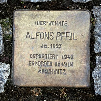 20 m
Stolpersteine (Stumbling Stones)
Stolperstein für Alfons Pfeil
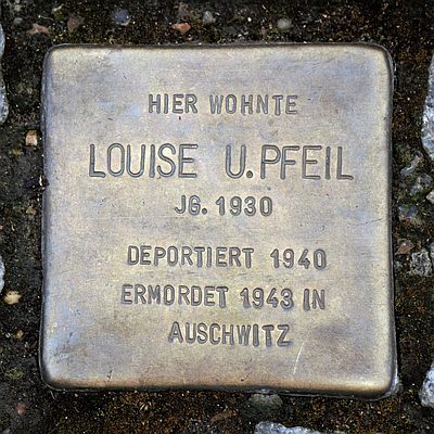 20 m
Stolpersteine (Stumbling Stones)
Stolperstein für Louise Pfeil
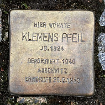 20 m
Stolpersteine (Stumbling Stones)
Stolperstein für Klemens Pfeil
Town Houses and Commercial Buildings
Geplantes Gebäude Wechselstaße 4
Street Names
Wechselstraße
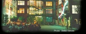 30 m
Exhibitions, Cultural Centres and Memorial Sites