Churches · 20th Century
Sankt Agritius - Ehemalige Notkirche


© GeoBasis-DE / LVermGeoRP, dl-de/by-2-0
There is no picture of this object yet. Do you have a photo that you would like to make available to the Kulturdatenbank? Submit a picture
Classification
- Subject area
- Architectural and Art Monuments
- Category
- Religious Buildings
- Object type
- Churches
- Date
- 1959 bis 1969
- Period
- 20th Century
Location
- District
- City of Trier
- Collective municipality
- Verbandsfreie Gemeinde Trier
- Town
- Trier
- Locality / location
- Mitte-Gartenfeld
- Field name
- Ortslage
- Coordinates
- WGS 84: 49.752599, 6.650858 (Position: exact) WGS 84: 49° 45′ 09.4″ N, 6° 39′ 03.1″ E UTM 32 (ETRS89): E 330789 · N 5513772
Sources
Data sources
- [1] Katholische Kirchengemeinde Liebfrauen 2023. Trier, https://liebfrauen-trier.de/kirche-st-agritius/
On the internet
Last edited: 30 May 2023 Object ID: 52532
https://kulturdb.de/en/objekt/52532-trier-sankt-agritius-ehemalige-notkirche
Nearby
The nearest objects
No picture
20 m
Town Houses and Commercial Buildings
Ehemalige Villa Koch
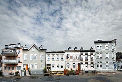 20 m
Street Names
Agritiusstraße
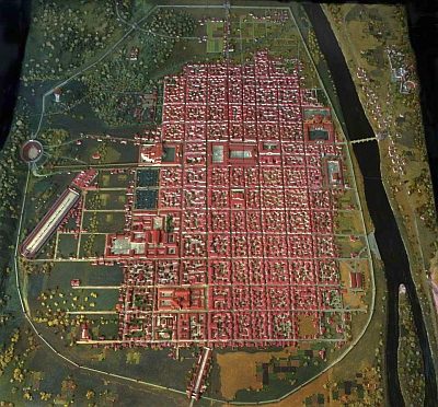 30 m
Town Fortifications
Ehemaliger Turm der römischen Stadtmauer
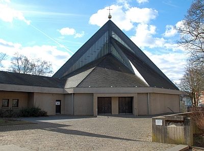 40 m
Catholic Churches
Sankt Agritius
No picture
90 m
Town Houses and Commercial Buildings
Haus Sachsenstraße 10
No picture
90 m
Town Houses and Commercial Buildings
Haus Sachsenstraße 12
No picture
90 m
Town Houses and Commercial Buildings
Haus Sachsenstraße 14
No picture
100 m
Town Houses and Commercial Buildings