Field Names · Neoclassicism
Zimbacherhöst


© GeoBasis-DE / LVermGeoRP, dl-de/by-2-0
There is no picture of this object yet. Do you have a photo that you would like to make available to the Kulturdatenbank? Submit a picture
Classification
- Subject area
- History
- Category
- Field Names
- Date
- 1830
- Period
- Neoclassicism
Location
- District
- Bernkastel-Wittlich
- Collective municipality
- Traben-Trarbach
- Municipality
- Hontheim
- Field name
- Zimbacherhöst
- Coordinates
- WGS 84: 50.095547, 6.971552 (Position: exact) WGS 84: 50° 05′ 44.0″ N, 6° 58′ 17.6″ E UTM 32 (ETRS89): E 354921 · N 5551225
Sources
Data sources
- [1] Landeshauptarchiv Koblenz. Bestand 732 Nummer 1051 Unternummer 169. Gemeinde Hontheim, Landkreis Bernkastel-Wittlich, Alle Fluren. Generalkarte der Gemeinde Hontheim von 1830.
- https://apertus.rlp.de/index.php?PLINK=1&ID=db761184-55ad-4fbe-ba42…
On the internet
Last edited: 4 Jun 2023 Object ID: 52535
https://kulturdb.de/en/objekt/52535-hontheim-zimbacherhoest
Nearby
The nearest objects
No picture
330 m
Field Names
Am Eisenkopf
No picture
330 m
Lime Kilns
Ehemalger Kalkofen
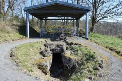 420 m
Burial Mounds
Römergrab - Strotzbüscher Tumm
No picture
850 m
Viewpoints
Aussichtspunkt
No picture
1.2 km
Wayside Shrine Houses
Heiligenhäuschen
No picture
1.2 km
Chapels
Wegekapelle
No picture
1.3 km
Wayside Shrines and Stations of the Cross
Wegekreuz
No picture
1.3 km
Viewpoints