Marian Grottoes · 20th Century
Mariengrotte


Description
This description is only available in German.
Translate with Google opens this page in Google Translate (external service)
Die Grotte liegt auf Privatgrund und ist nicht frei zugänglich. [1]
Classification
- Subject area
- Architectural and Art Monuments
- Category
- Religious Buildings
- Object type
- Marian Grottoes
- Date
- 1950er Jahre
- Period
- 20th Century
Location
- District
- Trier-Saarburg
- Collective municipality
- Trier-Land
- Municipality
- Kordel
- Street
- Hinter Sankt-Amandus-Straße 13
- Field name
- Ortslage
- Coordinates
- WGS 84: 49.837684, 6.633423 (Position: exact) WGS 84: 49° 50′ 15.7″ N, 6° 38′ 00.3″ E UTM 32 (ETRS89): E 329832 · N 5523270
Sources
Data sources
- [1] Peter Valerius, Kordel, 2023.
On the internet
haus-am-kyllufer.schwesternverband.de/das-haus
Picture credits
Last edited: 6 Jun 2023 Object ID: 52562
https://kulturdb.de/en/objekt/52562-kordel-mariengrotte
Nearby
The nearest objects
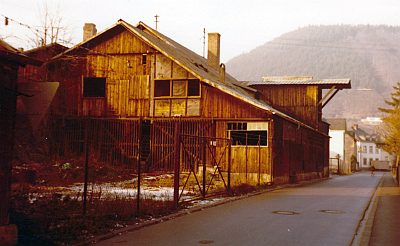 50 m
Engineering Structures and Industrial Sites
Ehemaliges Sägewerk Heintzkyll
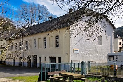 60 m
Cinemas
Ehemalige Moselland-Lichtspiele
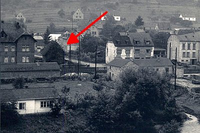 70 m
Washing Places
Eisenbahner-Wohnhaus - Ehemaliges Waschhaus
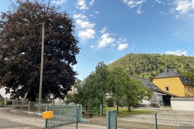 70 m
Prisons
Ehemaliges Lager für Zwangsarbeiter
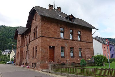
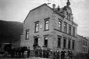 80 m
Post Offices
Kaiserliches Postamt 3. Klasse
 80 m
Town Houses and Commercial Buildings
Eisenbahner-Wohnhaus (1)
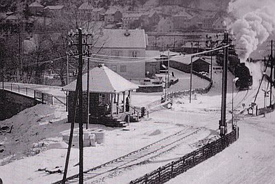 90 m
Railways
Ehemaliges Schrankenwärterhäuschen
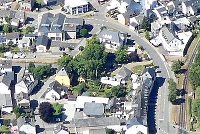 110 m
Field Names