Street Names · Undated
Im Pleil


© GeoBasis-DE / LVermGeoRP, dl-de/by-2-0
There is no picture of this object yet. Do you have a photo that you would like to make available to the Kulturdatenbank? Submit a picture
Description
This description is only available in German.
Translate with Google opens this page in Google Translate (external service)
Flurname. Zugehörig zu Bleil = halbkreisförmiges Brett mit Griff zum Schlagen der Wäsche. Die hier genannte Flur dürfte eine ähnliche Form gehabt haben. [1]
Classification
- Subject area
- History
- Category
- Place Names / Local History
- Object type
- Street Names
- Date
- Undatiert
- Period
- Undated
Location
- District
- City of Trier
- Collective municipality
- Verbandsfreie Gemeinde Trier
- Town
- Trier
- Locality / location
- Pfalzel
- Street
- Im Pleil
- Field name
- Ortslage
- Coordinates
- WGS 84: 49.784400, 6.694551 (Position: exact) WGS 84: 49° 47′ 03.8″ N, 6° 41′ 40.4″ E UTM 32 (ETRS89): E 334045 · N 5517210
Sources
Data sources
- [1] Die Straßennamen in Trier. Nach Vorarbeiten von Emil Zenz, hg. vom Kulturbüro der Stadt Trier, 2003.
On the internet
Last edited: 8 Jun 2023 Object ID: 52568
https://kulturdb.de/en/objekt/52568-trier-im-pleil
Nearby
The nearest objects
 150 m
Wayside Shrines and Stations of the Cross
Wegekreuz
 220 m
Burial Sites
Sarkophag mit dem Herz von Johann Wagner
 270 m
Town Fortifications
Bastion 4
Street Names
Scholasterei
 310 m
Town Fortifications
Bastion 5
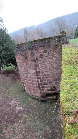 320 m
Town Fortifications
Bastion 3
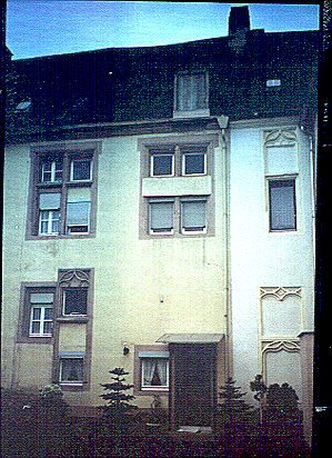 330 m
Courthouses
Ehemaliges Gerichtshaus und Münzstätte
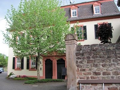 340 m
Canons' Houses (Curiae)