Deserted Settlements · Renaissance
Ehemaliges Rittergut der von Kesselstatt


© GeoBasis-DE / LVermGeoRP, dl-de/by-2-0
There is no picture of this object yet. Do you have a photo that you would like to make available to the Kulturdatenbank? Submit a picture
Classification
- Subject area
- Archaeological Monuments
- Category
- Settlements
- Object type
- Deserted Settlements
- Date
- 1500-1600
- Period
- Renaissance
Location
- District
- Eifelkreis Bitburg-Prüm
- Collective municipality
- Speicher
- Municipality
- Spangdahlem
- Locality / location
- Dahlem
- Field name
- Auf der Heide
- Coordinates
- WGS 84: 50.001379, 6.682771 (Position: exact) WGS 84: 50° 00′ 05.0″ N, 6° 40′ 58.0″ E UTM 32 (ETRS89): E 333944 · N 5541357
Sources
Data sources
- [1] Günter Leers, Spangdahlem, 2023. Römische Villa Breitenacker und das Tal https://www.youtube.com/watch?v=wGNshyeNqAk
On the internet
Last edited: 11 Jun 2023 Object ID: 52573
https://kulturdb.de/en/objekt/52573-spangdahlem-ehemaliges-rittergut-der-von-kesselstatt
Nearby
The nearest objects
No picture
250 m
Field Names
Jenseits der obersten Katzenbach
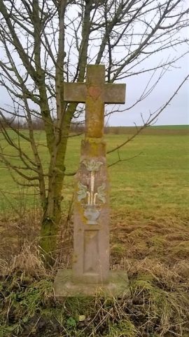 380 m
Wayside Shrines and Stations of the Cross
Wegekreuz
No picture
390 m
Field Names
In der obersten Katzenbach
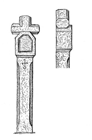 410 m
Wayside Shrines and Stations of the Cross
Nischenkreuz bei der Dohler Kapelle
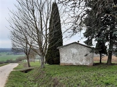 420 m
Chapels
Dohlerkapelle (1)
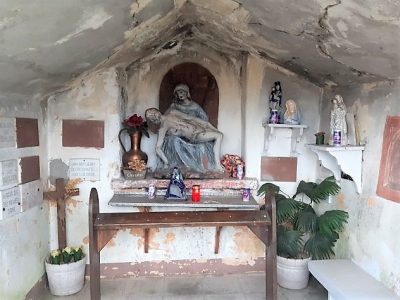 420 m
Chapels
Dohlerkapelle (2)
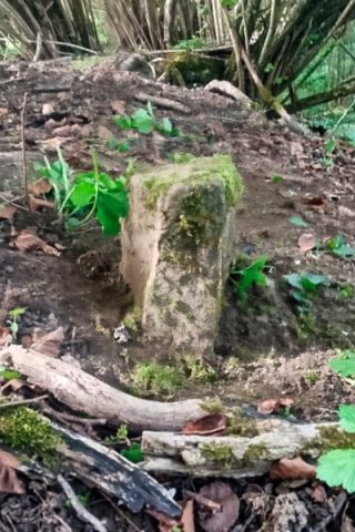 470 m
Deserted Settlements
Zisterzienser Grangie Gessüfel
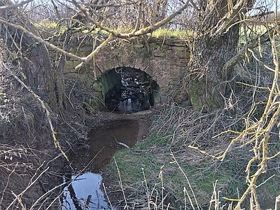 500 m
Road Transport