Springs · Undated
Ruwersprung


Description
This description is only available in German.
Translate with Google opens this page in Google Translate (external service)
Sprung – Quelle, mittelhochdeutsch sprunc. [1]
In diesem Gewann entspringt die Ruwer. [Red.]
Classification
- Subject area
- Natural Features
- Category
- Springs
- Date
- Undatiert
- Period
- Undated
Location
- District
- Trier-Saarburg
- Collective municipality
- Ruwer
- Municipality
- Osburg
- Field name
- Ruwersprung
- Coordinates
- WGS 84: 49.667362, 6.825972 (Position: exact) WGS 84: 49° 40′ 02.5″ N, 6° 49′ 33.5″ E UTM 32 (ETRS89): E 343127 · N 5503917
Sources
Data sources
- [1] Dittmaier, Heinrich: Rheinische Flurnamen. Ludwig Röhrscheid Verlag, Bonn, 1963.
- [2] Infotafel vor Ort - Quelle: Gewässerprojekt Ruwer und Nebenbäche, eine Broschüre zum Gewässerprojekt Ruwer. Hrsg.: Kreisverwaltung Trier-Saarburg, 2001.
On the internet
Picture credits
Last edited: 19 Jul 2023 Object ID: 52659
https://kulturdb.de/en/objekt/52659-osburg-ruwersprung
Nearby
The nearest objects
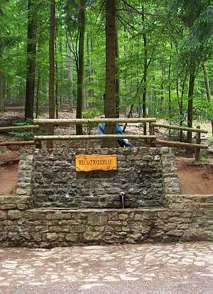 170 m
Springs
Ruwerquelle
No picture
620 m
Field Names
Bretterborn
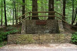 990 m
Fountains and Wells
Spalbachbrunnen
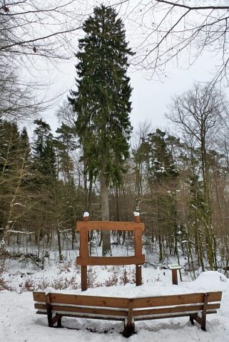 1.2 km
Spruces
Ruwerfichte
No picture
1.2 km
Field Names
Sittersbruch
No picture
1.3 km
Field Names
Röst, Gründelkopf
No picture
1.4 km
Field Names
Kallenbornheck
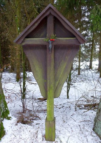 1.7 km
Wayside Shrines and Stations of the Cross