Field Names · Undated
Aufm Fuchsloch


© GeoBasis-DE / LVermGeoRP, dl-de/by-2-0
There is no picture of this object yet. Do you have a photo that you would like to make available to the Kulturdatenbank? Submit a picture
Description
This description is only available in German.
Translate with Google opens this page in Google Translate (external service)
Fuchs – Zu althochdeutsch fuhs, mittelhochdeutsch. vuhs starkes Maskulinum ‚Fuchs‘. Namengebend waren Fuchsbaue und Plätze, an denen sich die Füchse bevorzugt aufhielten. Viele historische Belege spiegeln den Lautwandel von /xs/ >/s/ wider. Vereinzelt kann auch der FamN Fuchs namengebend sein. [1]
Loch – bezieht sich auf alle Arten von Geländevertiefungen, von der sanften Mulde bis zum steilen Taleinschnitt. [2]
Classification
- Subject area
- History
- Category
- Field Names
- Date
- Undatiert
- Period
- Undated
Location
- District
- Trier-Saarburg
- Collective municipality
- Schweich an der römischen Weinstraße
- Municipality
- Mehring
- Locality / location
- Lörsch
- Field name
- Aufm Fuchsloch
- Coordinates
- WGS 84: 49.801158, 6.803020 (Position: exact) WGS 84: 49° 48′ 04.2″ N, 6° 48′ 10.9″ E UTM 32 (ETRS89): E 341907 · N 5518839
Sources
Data sources
- [1] © Hessisches Flurnamenarchiv Gießen / Prof. Dr. Hans Ramge
- [2] Dittmaier, Heinrich: Rheinische Flurnamen. Ludwig Röhrscheid Verlag, Bonn, 1963.
On the internet
Last edited: 20 Aug 2023 Object ID: 52757
https://kulturdb.de/en/objekt/52757-mehring-aufm-fuchsloch
Nearby
The nearest objects
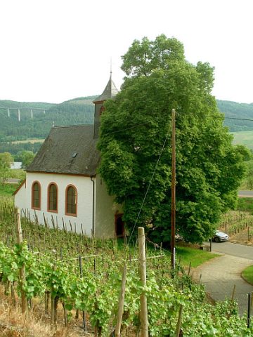 170 m
Catholic Churches
Sankt Nikolaus
 170 m
Catholic Churches
Sankt Nikolaus - Kreuzweg
Settlements
Spolien eines gotischen Gebäudes
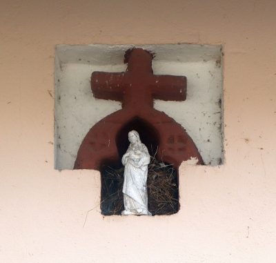 190 m
Wayside Shrines and Stations of the Cross
Gotische Nischeneinfassung
Vineyard Sites
Nonnengarten
Field Names
Im Nonnengarten
 250 m
Settlements
Römische Siedlung
Field Names