Tramways · Historicism / Art Nouveau
Ehemaliger Bergmannspfad


© GeoBasis-DE / LVermGeoRP, dl-de/by-2-0
There is no picture of this object yet. Do you have a photo that you would like to make available to the Kulturdatenbank? Submit a picture
Description
This description is only available in German.
Translate with Google opens this page in Google Translate (external service)
Aufstieg von Kautenbach zu den Erz- und Schieferstollen auf dem Hunsrück. [1]
Classification
- Subject area
- Architectural and Art Monuments
- Category
- Economy, Trade and Transport
- Object type
- Tramways
- Date
- 1915
Location
- District
- Bernkastel-Wittlich
- Town
- Traben-Trarbach
- Locality / location
- Trarbach
- Field name
- Osterroth
- Coordinates
- WGS 84: 49.921258, 7.134122 (Position: exact) WGS 84: 49° 55′ 16.5″ N, 7° 08′ 02.8″ E UTM 32 (ETRS89): E 366064 · N 5531545
Sources
Data sources
- [1] Topographische Karte 1:25000 von 1915 https://geo4.service24.rlp.de/client/lf/lawa/
On the internet
Last edited: 13 Dec 2023 Object ID: 52983
https://kulturdb.de/en/objekt/52983-traben-trarbach-ehemaliger-bergmannspfad
Nearby
The nearest objects
 460 m
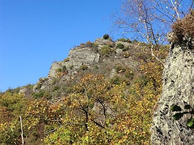
Rocks
Uhufels im Kautenbacher Felsengarten
 460 m
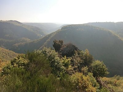
Viewpoints
Aussichtspunkt Uhufels
Extraction and Processing of Raw Materials
Ofen / Hellbörnchen
Field Names
Osterroth
Field Names
Rothenreiser
 670 m
Rocks
Pferdekopf mit Heidetreppe (alte Opferstätte)
Field Names
Beim Tränkborn
Extraction and Processing of Raw Materials