Field Names · Undated
Im Hasenfeld


© GeoBasis-DE / LVermGeoRP, dl-de/by-2-0
There is no picture of this object yet. Do you have a photo that you would like to make available to the Kulturdatenbank? Submit a picture
Description
This description is only available in German.
Translate with Google opens this page in Google Translate (external service)
Hasen – Bedeutung: Der Feldhase ist ein bei uns häufig vorkommendes Wildtier. Flurnamen mit dem Wort Hasen sind ebenfalls recht häufig
und zeigen Stellen an, an denen sich viele Hasen aufhalten. [1]
Classification
- Subject area
- History
- Category
- Field Names
- Date
- Undatiert
- Period
- Undated
Location
- District
- Trier-Saarburg
- Collective municipality
- Saarburg-Kell
- Municipality
- Paschel
- Field name
- Im Hasenfeld
- Coordinates
- WGS 84: 49.639696, 6.692391 (Position: exact) WGS 84: 49° 38′ 22.9″ N, 6° 41′ 32.6″ E UTM 32 (ETRS89): E 333395 · N 5501129
Sources
Data sources
- [1] Jiří Hönes – www.schlehengrund.net – 2012.
On the internet
Last edited: 1 Jun 2021 Object ID: 52988
https://kulturdb.de/en/objekt/52988-paschel-im-hasenfeld
Nearby
The nearest objects
 260 m
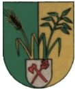
Coats of Arms
Wappen der Gemeinde Paschel
260 m
Place Names / Local History
Ortsname / Ortsgeschichte
Catholic Churches
Sankt Josef
Field Names
Zwertriesch
 350 m
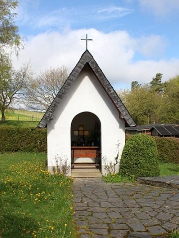
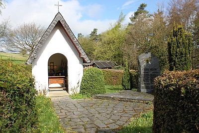
Chapels
Marienkapelle
 350 m
War Memorials
Kriegerdenkmal an der Marienkapelle
Field Names
Unter Kappeswies
Field Names