Fords · 20th Century
Ehemalige Furt durch die Ruwer


© GeoBasis-DE / LVermGeoRP, dl-de/by-2-0
There is no picture of this object yet. Do you have a photo that you would like to make available to the Kulturdatenbank? Submit a picture
Classification
- Subject area
- Architectural and Art Monuments
- Category
- Economy, Trade and Transport
- Object type
- Fords
- Date
- 1935
- Period
- 20th Century
Location
- District
- Trier-Saarburg
- Collective municipality
- Saarburg-Kell
- Municipality
- Mandern
- Field name
- Unter der Wasserwies
- Coordinates
- WGS 84: 49.617490, 6.771702 (Position: exact) WGS 84: 49° 37′ 03.0″ N, 6° 46′ 18.1″ E UTM 32 (ETRS89): E 339047 · N 5498488
Sources
Data sources
- [1] Topographische Karte 1:25000 von 1935 https://geo4.service24.rlp.de/client/lf/lawa/
On the internet
Last edited: 24 Dec 2023 Object ID: 52999
https://kulturdb.de/en/objekt/52999-mandern-ehemalige-furt-durch-die-ruwer
Nearby
The nearest objects
No picture
220 m
Field Names
Unter den Steinkaulen
No picture
240 m
Fossils
Fundstellen tierischer Versteinerungen
No picture
340 m
Field Names
Auf dem Ochsenborn
No picture
690 m
Field Names
Auf dem Mohrkopf ober dem Ochsenborn
No picture
700 m
Field Names
Wittumhuf auf Wiebelscheid
No picture
710 m
Field Names
Unter dem Fröschelsborn
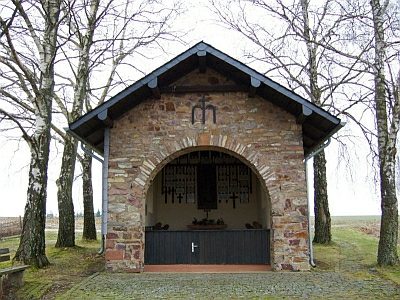 790 m
Chapels
Schutzmantel-Kapelle auf Wiebelscheid
No picture
800 m
Field Names