Extraction and Processing of Raw Materials · Undated
Ehemaliger Schutz einer bergbaulichen Anlage


© GeoBasis-DE / LVermGeoRP, dl-de/by-2-0
There is no picture of this object yet. Do you have a photo that you would like to make available to the Kulturdatenbank? Submit a picture
Classification
- Subject area
- Architectural and Art Monuments
- Category
- Economy, Trade and Transport
- Object type
- Extraction and Processing of Raw Materials
- Date
- Undatiert
- Period
- Undated
Location
- District
- Bernkastel-Wittlich
- Collective municipality
- Bernkastel-Kues
- Municipality
- Zeltingen-Rachtig
- Locality / location
- Zeltingen
- Field name
- Auf Kelz
- Coordinates
- WGS 84: 49.950460, 7.043132 (Position: exact) WGS 84: 49° 57′ 01.7″ N, 7° 02′ 35.3″ E UTM 32 (ETRS89): E 359618 · N 5534958
Sources
Data sources
- [1] Kartenaufnahme der Rheinlande durch Tranchot und von Müffling (1803-1820) Blattnummer: 194, Jahrgang: 1811, Blattname: Zeltingen, Aufnahme: Ing. Geograph Raymond © GeoBasis-DE / LVermGeoRP 2016, dl-de/by-2-0, www.lvermgeo.rlp.de
On the internet
Last edited: 26 Dec 2023 Object ID: 53005
https://kulturdb.de/en/objekt/53005-zeltingen-rachtig-ehemaliger-schutz-einer-bergbaulichen-anlage
Nearby
The nearest objects
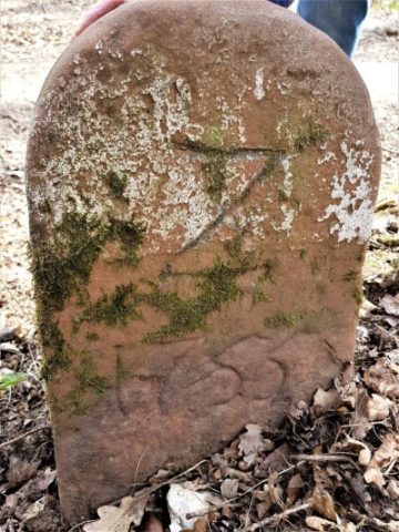 90 m
Surveying
Alter Gemarkungs-Grenzstein
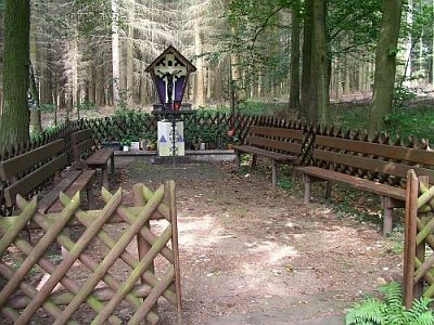 210 m
Pilgrimage Sites
Andachtsstätte Notgottes
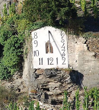 380 m
Surveying
Wehlener Sonnenuhr
No picture
420 m
Vineyard Sites
Lamenderlai
No picture
430 m
Vineyard Sites
Enkel
No picture
430 m
Field Names
Kirchholtz
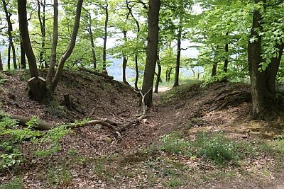 470 m
Entrenchments
Zeltinger Landwehr
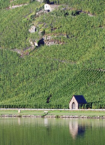 570 m
Chapels