Shooting Ranges · 20th Century
Ehemaliger Schießstand auf dem Mont Royal


© GeoBasis-DE / LVermGeoRP, dl-de/by-2-0
There is no picture of this object yet. Do you have a photo that you would like to make available to the Kulturdatenbank? Submit a picture
Classification
- Subject area
- Architectural and Art Monuments
- Category
- Recreation and Sports Facilities
- Object type
- Shooting Ranges
- Date
- 1940
- Period
- 20th Century
Location
- District
- Bernkastel-Wittlich
- Town
- Traben-Trarbach
- Locality / location
- Traben
- Field name
- Heller Saß
- Coordinates
- WGS 84: 49.971560, 7.119081 (Position: exact) WGS 84: 49° 58′ 17.6″ N, 7° 07′ 08.7″ E UTM 32 (ETRS89): E 365125 · N 5537164
Sources
Data sources
- [1] Topographische Karte 1:25000 von 1940 https://geo4.service24.rlp.de/client/lf/lawa/
On the internet
Last edited: 25 Jan 2024 Object ID: 53035
https://kulturdb.de/en/objekt/53035-traben-trarbach-ehemaliger-schiessstand-auf-dem-mont-royal
Nearby
The nearest objects
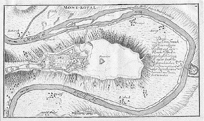 190 m
Fortresses and Bunkers
Festung Mont Royal - Eulenwerk
230 m
Fortresses and Bunkers
Festung Mont Royal - Südost-Bollwerk Kur-Mainz
No picture
260 m
Viewpoints
Aussichtspunkt Königsberg
320 m
Fortresses and Bunkers
Festung Mont Royal - Süd-Hornwerk Hunsrück
330 m
Fortresses and Bunkers
Festung Mont Royal - Mittel-Bollwerk
380 m
Fortresses and Bunkers
Festung Mont Royal - Kasernen-Keller
470 m
Fountains and Wells
Festung Mont Royal - Festungsbrunnen
500 m
Fortresses and Bunkers