Monuments · 20th Century
Gedenktafel


© GeoBasis-DE / LVermGeoRP, dl-de/by-2-0
There is no picture of this object yet. Do you have a photo that you would like to make available to the Kulturdatenbank? Submit a picture
Description
This description is only available in German.
Translate with Google opens this page in Google Translate (external service)
Inschrift:
+ HIER AN DIESER STELLE
FIELEN DEM BOMBENANGRIFF
AM 19. FEBRUAR 1945
AUF DIE STADT
41 MENSCHEN ZUM OPFER + [1]
Classification
- Subject area
- History
- Category
- Markers and Monuments
- Object type
- Monuments
- Date
- Nach 1945
- Period
- 20th Century
Location
- District
- Bernkastel-Wittlich
- Town
- Bernkastel-Kues
- Locality / location
- Bernkastel
- Street
- Burgstraße
- Field name
- Ortslage
- Coordinates
- WGS 84: 49.914549, 7.077738 (Position: exact) WGS 84: 49° 54′ 52.4″ N, 7° 04′ 39.9″ E UTM 32 (ETRS89): E 361997 · N 5530901
Sources
Data sources
On the internet
Last edited: 4 Feb 2024 Object ID: 53041
https://kulturdb.de/en/objekt/53041-bernkastel-kues-gedenktafel
Nearby
The nearest objects
Town Houses and Commercial Buildings
Dreigeschossiges Fachwerkhau
 20 m
Synagogues
Neue Synagoge
 30 m
Stolpersteine (Stumbling Stones)
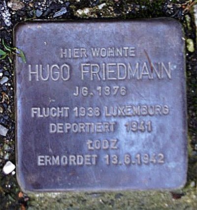
Stolperstein für Hugo Friedmann
 30 m
Stolpersteine (Stumbling Stones)
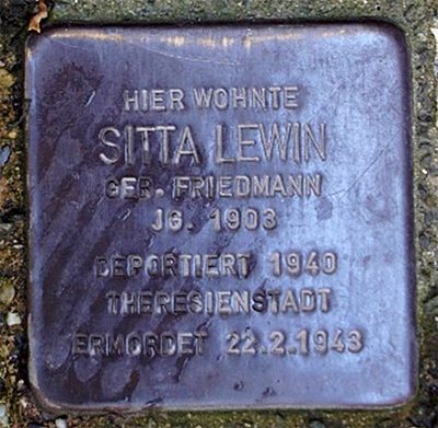
Stolperstein für Sitta Lewin
 30 m
Stolpersteine (Stumbling Stones)
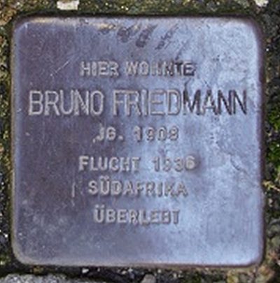
Stolperstein für Bruno Friedmann
 30 m
Stolpersteine (Stumbling Stones)
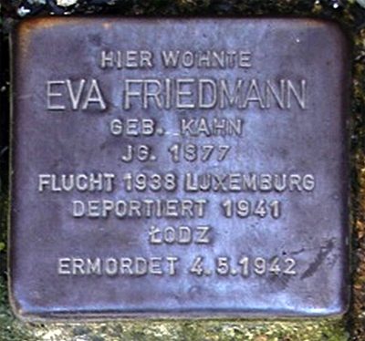
Stolperstein für Eva Friedmann
 30 m
Stolpersteine (Stumbling Stones)
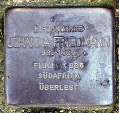
Stolperstein für Johanna Friedmann
 30 m
Stolpersteine (Stumbling Stones)