Field Names · Undated
Die Bothacht


© GeoBasis-DE / LVermGeoRP, dl-de/by-2-0
There is no picture of this object yet. Do you have a photo that you would like to make available to the Kulturdatenbank? Submit a picture
Description
This description is only available in German.
Translate with Google opens this page in Google Translate (external service)
Deutung: Eine Wiese, die dem Boten des Maximiner Hofes zur Nutzung überlassen war. [1]
Classification
- Subject area
- History
- Category
- Field Names
- Date
- Undatiert
- Period
- Undated
Location
- District
- Trier-Saarburg
- Collective municipality
- Schweich an der römischen Weinstraße
- Municipality
- Longuich
- Street
- In der Botacht
- Field name
- Botacht
- Coordinates
- WGS 84: 49.808655, 6.773574 (Position: exact) WGS 84: 49° 48′ 31.2″ N, 6° 46′ 24.9″ E UTM 32 (ETRS89): E 339813 · N 5519734
Sources
Data sources
- [1] Endesfelder, Kurt: Geschichte von Longuich-Kirsch. Trier 1967. Schriftenreihe: Ortschroniken des Trierer Landes, Band 13. Herausgegeben von der Arbeitsgemeinschaft für Landesgeschichte und Volkskunde des Trierer Raumes. Sektion der Trierer Gesellschaft für nützliche Forschungen durch Dr. Richard Laufner.
On the internet
Last edited: 26 Feb 2024 Object ID: 53133
https://kulturdb.de/en/objekt/53133-longuich-die-bothacht
Nearby
The nearest objects
Field Names
Im Hofbungert
Schools
Ehemalige Schule
Field Names
Aufm Odergraben
Schools
Ehemalige Schule
Jewish History
Jüdische Geschichte
 170 m
Nativity Scenes
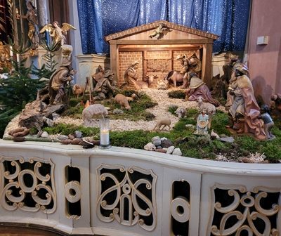
Sankt Laurentius - Weihnachtskrippe
Farmhouses and Farm Buildings
Einhaus
Farmhouses and Farm Buildings