Monuments · 20th Century
Denkmal Flurbereinigung Kenn


Description
This description is only available in German.
Translate with Google opens this page in Google Translate (external service)
Inschrift:
Zusammenlegung
Kenner Flur
1984-1987 [1]
Classification
- Subject area
- Architectural and Art Monuments
- Category
- Markers and Monuments
- Object type
- Monuments
- Date
- 1987
- Period
- 20th Century
Location
- District
- City of Trier
- Collective municipality
- Verbandsfreie Gemeinde Trier
- Town
- Trier
- Locality / location
- Ruwer/Eitelsbach
- Field name
- Im Krein
- Coordinates
- WGS 84: 49.806639, 6.718817 (Position: exact) WGS 84: 49° 48′ 23.9″ N, 6° 43′ 07.7″ E UTM 32 (ETRS89): E 335867 · N 5519629
Sources
Data sources
- [1] Andy Dufresne & Red - Own work, CC0, https://commons.wikimedia.org/w/index.php?curid=142402946
On the internet
Picture credits
Last edited: 15 May 2024 Object ID: 53214
https://kulturdb.de/en/objekt/53214-trier-denkmal-flurbereinigung-kenn
Nearby
The nearest objects
No picture
120 m
Field Names
Beim Heiligenhäuschen
No picture
150 m
Railways
Moseltalbahn - Ehemaliger Haltestelle Kenn
No picture
220 m
Field Names
Auf der Sandkaul
No picture
330 m
Field Names
Auf der Neuwies
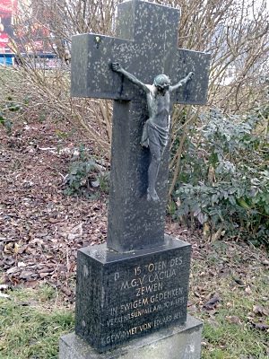 380 m
Wayside Shrines and Stations of the Cross
Unfallkreuz
No picture
430 m
Field Names
In der Neuwies
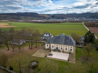 490 m
Waterworks
Kenner Wasserwerk
 570 m
Place Names / Local History