Castles · Early Middle Ages / Romanesque
Burgruine Beifels
- Listed monument


© GeoBasis-DE / LVermGeoRP, dl-de/by-2-0
There is no picture of this object yet. Do you have a photo that you would like to make available to the Kulturdatenbank? Submit a picture
Description
This description is only available in German.
Translate with Google opens this page in Google Translate (external service)
Die Entstehung dieser recht bedeutenden Burganlage ist unbekannt. Sie gehörte dem Geschlecht von Beifels, das aus Bivels bei Vianden stammte. [1]
Classification
- Subject area
- Architectural and Art Monuments
- Object type
- Castles
- Date
- Circa 500 nach Chr. bis circa 1220
Location
- District
- Eifelkreis Bitburg-Prüm
- Collective municipality
- Bitburger Land
- Municipality
- Oberweiler
- Locality / location
- Beifels
- Field name
- Im Spiesberg
- Coordinates
- WGS 84: 50.052182, 6.428342 (Position: exact) WGS 84: 50° 03′ 07.9″ N, 6° 25′ 42.0″ E UTM 32 (ETRS89): E 315907 · N 5547601
Sources
Data sources
- [1] Janssen, W.: Studien zur Wüstungsfrage im fränkischen Altsiedelland zwischen Rhein, Mosel und Eifelnordrand. 2 Bände. Text u. Katalog, 1975.
On the internet
Last edited: 7 Oct 2003 Object ID: 533
https://kulturdb.de/en/objekt/533-oberweiler-burgruine-beifels
Nearby
The nearest objects
 150 m
Viewpoints
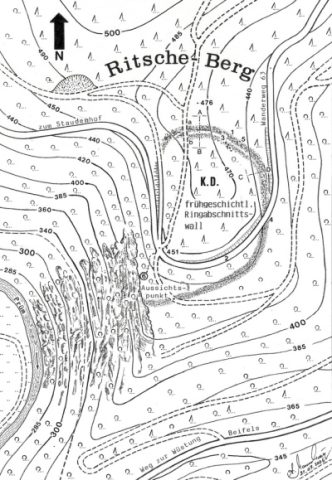
Aussichtspunkt auf Ritsche-Berg
 170 m
Spur Castles
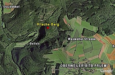
Ritsche-Berg
Field Names
In Dausterdell
Field Names
Im Wollpesch
Fords
Ehemalige Furt durch die Prüm
 520 m
Deserted Settlements
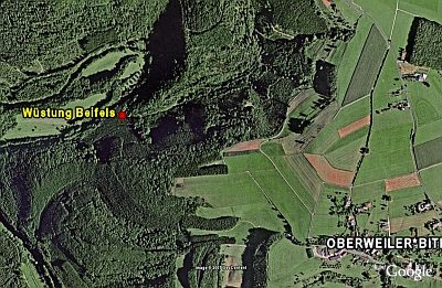
Wüstung Beifels
Fossils
Fundstellen tierischer Versteinerungen
Fossils