Markers and Monuments · Neoclassicism
Sogenannte Konstantinsäule
- Listed monument


Description
This description is only available in German.
Translate with Google opens this page in Google Translate (external service)
Classification
- Subject area
- Architectural and Art Monuments
- Category
- Markers and Monuments
- Date
- Um 1847
- Period
- Neoclassicism
Location
- District
- City of Trier
- Collective municipality
- Verbandsfreie Gemeinde Trier
- Town
- Trier
- Locality / location
- Mitte-Gartenfeld
- Street
- Römerbrücke / Sankt-Barbara-Ufer
- Field name
- Ortslage
- Coordinates
- WGS 84: 49.751320, 6.628010 (Position: exact) WGS 84: 49° 45′ 04.8″ N, 6° 37′ 40.8″ E UTM 32 (ETRS89): E 329139 · N 5513682
Sources
Data sources
- [1] Denkmalliste der Generaldirektion Kulturelles Erbe, Rheinland-Pfalz; 2010.
- [2] Neues Trierisches Jahrbuch - 1966. Hrsg. Verein Trierisch e. V.
On the internet
de.wikipedia.org/wiki/Trier-Mitte/Gartenfeld
Picture credits
Last edited: 23 Mar 2011 Object ID: 5353
https://kulturdb.de/en/objekt/5353-trier-sogenannte-konstantinsaeule
Nearby
The nearest objects
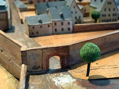 less than 10 m
Town Fortifications
Ehemaliges Sankt-Barbara-Tor
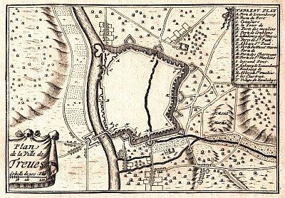 less than 10 m
Town Fortifications
Ehem. Turm der mittelalterl. Stadtmauer - Nr. 43
No picture
40 m
Monastic Complexes
Ehemaliges Missionshaus der Weißen Väter
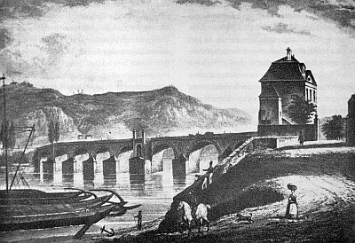 50 m
Town Fortifications
Ehemaliges Brückentor
60 m
Town Fortifications
Ehemaliger Sankt-Niklas-Turm
 60 m
Surveying
Höhenfestpunkt an Römerbrücke
No picture
60 m
Beeches
Blutbuche
No picture
80 m
Town Fortifications