Ancient Field Systems · Early Middle Ages / Romanesque
Fossile Flur

Description
This description is only available in German.
Translate with Google opens this page in Google Translate (external service)
Terrassierte mittelalterliche Weinberge zwischen Brecht und Oberweis. [1]
Classification
- Subject area
- Archaeological Monuments
- Category
- Economy, Trade and Transport
- Object type
- Ancient Field Systems
- Date
- Circa 500 nach Chr. bis circa 1220
Location
- District
- Eifelkreis Bitburg-Prüm
- Collective municipality
- Bitburger Land
- Municipality
- Oberweis
- Field name
- Im Achtmorgen
- Coordinates
- WGS 84: 49.959594, 6.424453 (Position: presumed) WGS 84: 49° 57′ 34.5″ N, 6° 25′ 28.0″ E UTM 32 (ETRS89): E 315274 · N 5537318
Sources
Data sources
- [1] Janssen, W.: Studien zur Wüstungsfrage im fränkischen Altsiedelland zwischen Rhein, Mosel und Eifelnordrand. 2 Bände. Text u. Katalog, 1975.
On the internet
Picture credits
- Picture 1: Google Earth
Last edited: 7 Oct 2003 Object ID: 536
https://kulturdb.de/en/objekt/536-oberweis-fossile-flur
Nearby
The nearest objects
Field Names
Im Achtmorgen
 210 m
Execution Sites
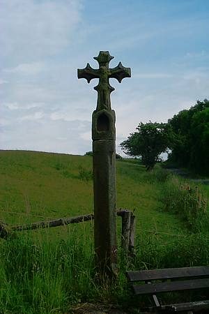
Altenhofer Galgenkreuz
 230 m
Chapels
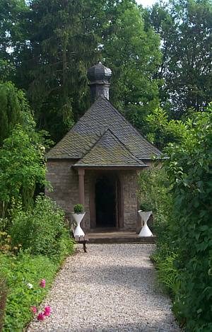
Marienkapelle auf dem Kuhberg
Wayside Shrines and Stations of the Cross
Wegekreuz
Farmhouses and Farm Buildings
Winkelhof
Farmhouses and Farm Buildings
Winkelhof
Farmhouses and Farm Buildings
Streckhof
Farmhouses and Farm Buildings