Place Names / Local History · Celtic / Roman Period
Vermutetes Grab Attilas


© GeoBasis-DE / LVermGeoRP, dl-de/by-2-0
There is no picture of this object yet. Do you have a photo that you would like to make available to the Kulturdatenbank? Submit a picture
Description
This description is only available in German.
Translate with Google opens this page in Google Translate (external service)
Der Sage nach soll Attila der Hunnenkönig auf der Gemarkung Malbergweich beerdigt worden sein und zwar im Wald „Vor Hohnert“, wo sich tatsächlich nur einige Meter neben der Römerstraße (heutige Landesstraße 32) ein kleiner kreisrunder Hüge befindet. Hier hat Anfangs des 20. Jahrhunderts ein amerikanischer Amateurarchäologe Grabungen durchgeführt, allerdings erfolglos. [1]
Classification
- Subject area
- History
- Category
- Place Names / Local History
- Date
- 453
- Period
- Celtic / Roman Period
Location
- District
- Eifelkreis Bitburg-Prüm
- Collective municipality
- Bitburger Land
- Municipality
- Malbergweich
- Field name
- Vor Hohnert
- Coordinates
- WGS 84: 50.048408, 6.530696 (Position: exact) WGS 84: 50° 02′ 54.3″ N, 6° 31′ 50.5″ E UTM 32 (ETRS89): E 323220 · N 5546934
Sources
Data sources
- [1] Berg, Helmut: Mundart ist die Seele der Heimat, 2019.
- https://malbergweich.de/assets/content/downloads/Wejscher-Wejscha-P…
- [2] Schummerung RP 1m ©GeoBasis-DE / LVermGeoRP (2024), dl-de/by-2-0, http://www.lvermgeo.rlp.de [Daten bearbeitet]
On the internet
Last edited: 31 Jul 2024 Object ID: 53631
https://kulturdb.de/en/objekt/53631-malbergweich-vermutetes-grab-attilas
Nearby
The nearest objects
Burial Mounds
Grabhügelgruppe
Settlements
Römische Villenanlage
Field Names
Auf dem Scheid
Wayside Shrines and Stations of the Cross
Krobenkreuz
Burial Mounds
Einzelner Grabhügel
Fossils
Fundstellen tierischer Versteinerungen
 1.0 km
Markers and Monuments
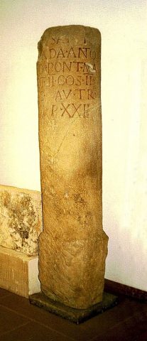
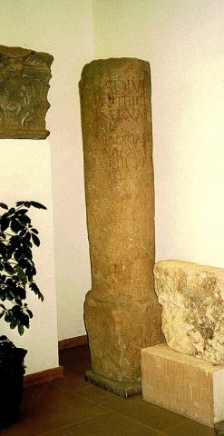
Meilenstein von Nattenheim für Antoninus Pius
 1.0 km
Markers and Monuments