Burial Mounds · Celtic / Roman Period
Keltischer Grabhügel
- Listed monument


© GeoBasis-DE / LVermGeoRP, dl-de/by-2-0
There is no picture of this object yet. Do you have a photo that you would like to make available to the Kulturdatenbank? Submit a picture
Classification
- Subject area
- Archaeological Monuments
- Category
- Burials
- Object type
- Burial Mounds
- Date
- Circa 500 vor Chr. bis circa 500 nach Chr.
- Period
- Celtic / Roman Period
Location
- District
- Trier-Saarburg
- Collective municipality
- Saarburg-Kell
- Municipality
- Kell am See
- Locality / location
- Kell
- Field name
- Kreidheck
- Coordinates
- WGS 84: 49.650724, 6.798682 (Position: exact) WGS 84: 49° 39′ 02.6″ N, 6° 47′ 55.3″ E UTM 32 (ETRS89): E 341104 · N 5502125
Sources
Data sources
- [1] Digitale TK25. Landesamt für Vermessung und Geobasisinformation Rheinland-Pfalz. 2001 (ISBN 3-89637-345-5)
On the internet
Last edited: 22 Aug 2002 Object ID: 5492
https://kulturdb.de/en/objekt/5492-kell-am-see-keltischer-grabhuegel
Nearby
The nearest objects
No picture
680 m
Field Names
Trierstraßer Röder
No picture
1.0 km
Extraction and Processing of Raw Materials
Versuch auf Dachschiefer
No picture
1.3 km
Field Names
Oberm Kallenborn
No picture
1.4 km
Field Names
Winkelsflürchen
No picture
1.6 km
Mills
Ehemalige Ölmühle am Frohnbach
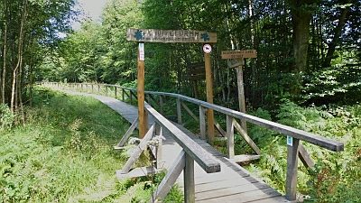 1.8 km
Spring Fens
Weyrichsbruch
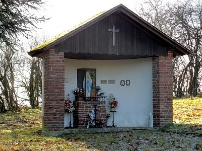 1.9 km
Chapels
Lourdeskapelle
No picture
1.9 km
Wayside Shrines and Stations of the Cross