Wayside Shrines and Stations of the Cross · Neoclassicism
Kreuzsockel


Description
This description is only available in German.
Translate with Google opens this page in Google Translate (external service)
Classification
- Subject area
- Architectural and Art Monuments
- Category
- Religious Buildings
- Object type
- Wayside Shrines and Stations of the Cross
- Date
- 1811
- Period
- Neoclassicism
Location
- District
- Eifelkreis Bitburg-Prüm
- Collective municipality
- Bitburger Land
- Municipality
- Malbergweich
- Field name
- Im Weidbach
- Coordinates
- WGS 84: 50.084300, 6.567430 (Position: exact) WGS 84: 50° 05′ 03.5″ N, 6° 34′ 02.7″ E UTM 32 (ETRS89): E 325979 · N 5550838
Sources
Data sources
- [1] Sandra Wack und Miss Mandy, Neuheilenbach, 2024.
- [2] Kartenaufnahme der Rheinlande durch Tranchot und von Müffling (1803-1820) Blattnummer: 178, Jahrgang: 1811, Blattname: Kyllburg, Aufnahme: Ing. Geograph Bouche. © GeoBasis-DE / LVermGeoRP 2016, dl-de/by-2-0, www.lvermgeo.rlp.de
On the internet
Picture credits
Last edited: 13 Dec 2024 Object ID: 55111
https://kulturdb.de/en/objekt/55111-malbergweich-kreuzsockel
Nearby
The nearest objects
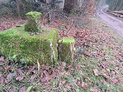 less than 10 m
Surveying
Grenzsteine vor einem Kreuzsockel
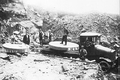 430 m
Extraction and Processing of Raw Materials
Ehemaliger Steinbruch am Schneeberg
440 m
Extraction and Processing of Raw Materials
Ehemaliger Steinbruch am Schneeberg
 600 m
Beeches
Buche am Röder
720 m
Extraction and Processing of Raw Materials
Ehemaliger Steinbruch am Schneeberg
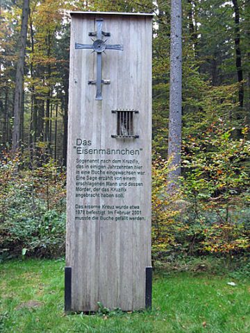 730 m
Wayside Shrines and Stations of the Cross
Das Eisenmännchen am Mohrweilerweg
790 m
Extraction and Processing of Raw Materials
Steinbruch am Schneeberg
800 m
Extraction and Processing of Raw Materials