Historic Townscapes · Undated
Historisches Ortsbild


Description
This description is only available in German.
Translate with Google opens this page in Google Translate (external service)
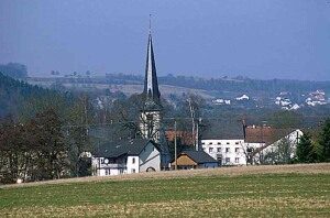
Zusammen mit Kirche und Burg prägen locker zu Gehöften gruppierte Wohn-, Stall- und Scheunengebäude den Ortskern. Hervorzuheben: Hubertusstraße. [1]
Classification
- Subject area
- Architectural and Art Monuments
- Category
- Historic Townscapes
- Date
- Undatiert
- Period
- Undated
Location
- District
- Eifelkreis Bitburg-Prüm
- Collective municipality
- Bitburger Land
- Municipality
- Wolsfeld
- Field name
- Ortslage
- Coordinates
- WGS 84: 49.906118, 6.466511 (Position: within the village) WGS 84: 49° 54′ 22.0″ N, 6° 27′ 59.4″ E UTM 32 (ETRS89): E 318089 · N 5531270
Sources
Data sources
- [1] Georg Dehio: Handbuch der deutschen Kunstdenkmäler: Rheinland-Pfalz, Saarland, 1984. Deutscher Kunstverlag
On the internet
bitburgerland.de/index.php?id=514
Picture credits
Last edited: 20 Jul 2010 Object ID: 552
https://kulturdb.de/en/objekt/552-wolsfeld-historisches-ortsbild
Nearby
The nearest objects
 20 m
Place Names / Local History
Ortsname
 20 m
Coats of Arms
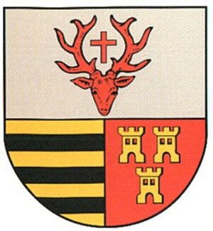
Wappen der Gemeinde Wolsfeld
Farmhouses and Farm Buildings
Wohnhaus
Farmhouses and Farm Buildings
Winkelhof
 70 m
Farmhouses and Farm Buildings
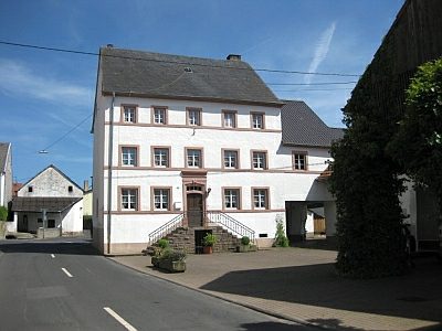
Stattliches Anwesen
 70 m
Chapels
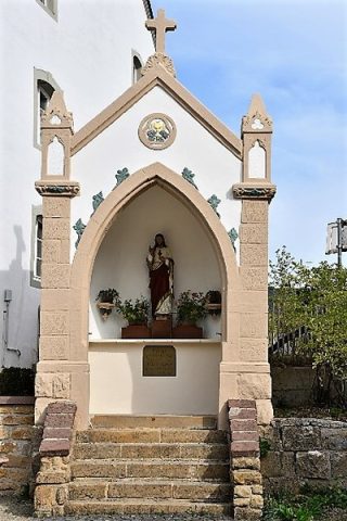
Sechs-Familien-Kapelle
 90 m
Chapels
Hofkapelle
Farmhouses and Farm Buildings