Flood Marks · Undated
Historische Hochwassermarken am Pfarrhaus


Description
This description is only available in German.
Translate with Google opens this page in Google Translate (external service)
Am Pfarhhaus Brauneberg befinden sich an der Außenwand Richtung Mosel zwei historische Hochwassermarken.
Von oben nach unten:
HOCHWASSER
NEUJAHR 1925 - 26
-----------------------
STAND AM 31. DEZ. 25
H. W.
---------
31.12.47 / 1.1.48
Classification
- Subject area
- Architectural and Art Monuments
- Category
- Markers and Monuments
- Object type
- Flood Marks
- Date
- Undatiert
- Period
- Undated
Location
- District
- Bernkastel-Wittlich
- Collective municipality
- Bernkastel-Kues
- Municipality
- Brauneberg
- Street
- Hauptstraße 167
- Field name
- Im Unterdorf
- Coordinates
- WGS 84: 49.909958, 6.989370 (Position: exact) WGS 84: 49° 54′ 35.8″ N, 6° 59′ 21.7″ E UTM 32 (ETRS89): E 355640 · N 5530558
Sources
Data sources
- [1] Michael Grün, Trier, 2025.
On the internet
Picture credits
Last edited: 22 Jan 2025 Object ID: 55293
https://kulturdb.de/en/objekt/55293-brauneberg-historische-hochwassermarken-am-pfarrhaus
Nearby
The nearest objects
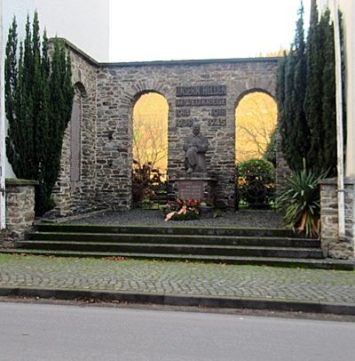 less than 10 m
War Memorials
Kriegerdenkmal beider Weltkriege
Rectories
Pfarrhaus
Farmhouses and Farm Buildings
Wohnhaus
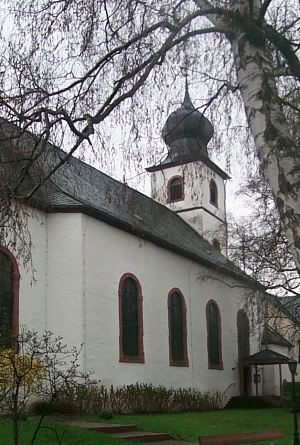 30 m
Simultaneous Churches
Sankt Remigius
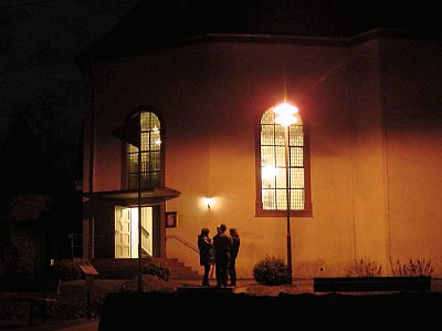 30 m
Simultaneous Churches
Sankt Remigius - Evangelischer Teil
Farmhouses and Farm Buildings
Wohnhaus
Farmhouses and Farm Buildings
Wirtschaftsgebäude
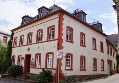 50 m
Farmhouses and Farm Buildings