Burial Mounds · Celtic / Roman Period
Hügelgräber am Tonnkopf
- Listed monument

Description
This description is only available in German.
Translate with Google opens this page in Google Translate (external service)
Eine Gruppe von ursprünglich drei Hügeln wurde 1844 ohne greifbare Erfebnisse gegraben, über Funde ist nichts bekannt. [1]
Classification
- Subject area
- Archaeological Monuments
- Category
- Burials
- Object type
- Burial Mounds
- Date
- 1. Jahrhundert nach Chr.
- Period
- Celtic / Roman Period
Location
- District
- Bernkastel-Wittlich
- Collective municipality
- Einheitsgemeinde Morbach
- Municipality
- Morbach
- Locality / location
- Haag
- Field name
- Tummflur
- Coordinates
- WGS 84: 49.815906, 7.033627 (Position: exact) WGS 84: 49° 48′ 57.3″ N, 7° 02′ 01.1″ E UTM 32 (ETRS89): E 358543 · N 5520017
Sources
Data sources
- [1] Wolfgang Ebel: Die römischen Grabhügel des ersten Jahrhunderts im Treverergebiet. Marburger Studien zur Vor- und Frühgeschichte; Band 12. ISBN 3-89398-018-0
On the internet
Picture credits
- Picture 1: http://www.biebertalonline.de/gemeinde/grab1.jpg
Last edited: 12 Jun 2008 Object ID: 5534
https://kulturdb.de/en/objekt/5534-morbach-huegelgraeber-am-tonnkopf
Nearby
The nearest objects
Chapels
Marienkapelle
Wayside Shrines and Stations of the Cross
Wegekreuz am Tonnkopf
Field Names
Nasse Felder
 440 m
Farmhouses and Farm Buildings
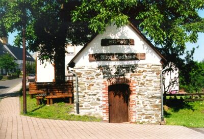
Altes Backhaus
 490 m
Wayside Shrines and Stations of the Cross
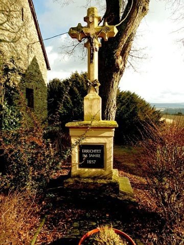
Kreuz an der Dorfstraße
 530 m
Coats of Arms
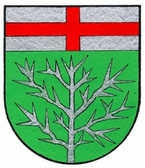
Wappen von Morbach-Haag
 530 m
Place Names / Local History
Erste Erwähnung von Haag
War Memorials