Wayside Shrines and Stations of the Cross · Baroque / Rococo
Hubertuskreuz
- Listed monument


Description
This description is only available in German.
Translate with Google opens this page in Google Translate (external service)
Classification
- Subject area
- Architectural and Art Monuments
- Category
- Religious Buildings
- Object type
- Wayside Shrines and Stations of the Cross
- Date
- 1776
- Period
- Baroque / Rococo
Location
- District
- Bernkastel-Wittlich
- Collective municipality
- Wittlich-Land
- Municipality
- Hetzerath
- Field name
- Ortslage
- Coordinates
- WGS 84: 49.874168, 6.812117 (Position: exact) WGS 84: 49° 52′ 27.0″ N, 6° 48′ 43.6″ E UTM 32 (ETRS89): E 342798 · N 5526936
Sources
Data sources
- [1] Wanderkarte 1:25.000 Nr. 24 des Eifelvereins "Wittlicher Land". Hrsg. Fremdenverkehrsverein Wittlicher Land in Zusammenarbeit mit dem Eifelverein e.V. 1. Auflage 1989.
- [2] Michael Grün, Trier, 2020.
On the internet
Picture credits
Last edited: 20 Jan 2020 Object ID: 5558
https://kulturdb.de/en/objekt/5558-hetzerath-hubertuskreuz
Nearby
The nearest objects
No picture
50 m
Farmhouses and Farm Buildings
Gehöft
No picture
170 m
Field Names
Auf Kirchgraben
No picture
190 m
Field Names
Aufm Schweicherpesch
No picture
220 m
Field Names
Aufm Hostert
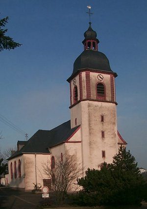 230 m
Catholic Churches
Sankt Hubertus
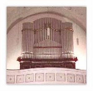 230 m
Organs
Orgelgeschichte Sankt Hubertus
No picture
240 m
Farmhouses and Farm Buildings
Wohnhaus
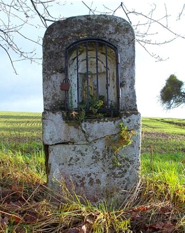 260 m
Wayside Shrines and Stations of the Cross