Pilgrimage Routes · 20th Century
Weißes Kreuz


Description
This description is only available in German.
Translate with Google opens this page in Google Translate (external service)
Classification
- Subject area
- Architectural and Art Monuments
- Category
- Religious Buildings
- Object type
- Pilgrimage Routes
- Date
- 1979
- Period
- 20th Century
Location
- District
- Eifelkreis Bitburg-Prüm
- Collective municipality
- Prüm
- Municipality
- Wallersheim
- Field name
- Auf Apert
- Coordinates
- WGS 84: 50.200369, 6.549862 (Position: exact) WGS 84: 50° 12′ 01.3″ N, 6° 32′ 59.5″ E UTM 32 (ETRS89): E 325146 · N 5563782
Sources
Data sources
- [1] © Sandra Wack, Neuheilenbach, 2022. www.koerbchen-gesucht.de
On the internet
Picture credits
- Picture 1: © Sandra Wack, Neuheilenbach, 2022. www.koerbchen-gesucht.de
- Picture 2: © Sandra Wack, Neuheilenbach, 2022. www.koerbchen-gesucht.de
- Picture 3: © Sandra Wack, Neuheilenbach, 2022. www.koerbchen-gesucht.de
- Picture 4: © Sandra Wack, Neuheilenbach, 2022. www.koerbchen-gesucht.de
- Picture 5: © Sandra Wack, Neuheilenbach, 2022. www.koerbchen-gesucht.de
- Picture 6: © Sandra Wack, Neuheilenbach, 2022. www.koerbchen-gesucht.de
Last edited: 18 Mar 2022 Object ID: 5567
https://kulturdb.de/en/objekt/5567-wallersheim-weisses-kreuz
Nearby
The nearest objects
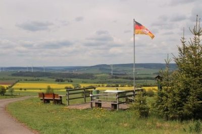 310 m
Viewpoints
Panoramablick Am Apert
No picture
490 m
Field Names
Vor Welschesborn
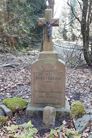 590 m
Wayside Shrines and Stations of the Cross
Reinhardtskreuz
No picture
610 m
Field Names
Auf Brausrechen
No picture
650 m
Field Names
Hallertswinkel
No picture
790 m
Field Names
Auf Evelstriesch
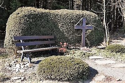 830 m
Pilgrimage Routes
Pilgerkreuz der Sankt-Matthias-Bruderschaft
No picture
1.0 km
Field Names