Field Names · Undated
Auf Hahnenbläuelchen
Auch Hahnenbleuelchen


© GeoBasis-DE / LVermGeoRP, dl-de/by-2-0
There is no picture of this object yet. Do you have a photo that you would like to make available to the Kulturdatenbank? Submit a picture
Description
This description is only available in German.
Translate with Google opens this page in Google Translate (external service)
Bei „Hahn“ oder „Hahnen“ handelt es sich um einen abgegrenzten Bezirk, der der Allgemeinheit nicht zugängig und abgesperrt war.
„Bleuel“ nennt sich die Schaufel eines Mühlenrades. [1]
Classification
- Subject area
- History
- Category
- Field Names
- Date
- Undatiert
- Period
- Undated
Location
- District
- Eifelkreis Bitburg-Prüm
- Collective municipality
- Bitburger Land
- Municipality
- Gransdorf
- Field name
- Auf Hahnenbläuelchen
- Coordinates
- WGS 84: 50.008134, 6.679228 (Position: exact) WGS 84: 50° 00′ 29.3″ N, 6° 40′ 45.2″ E UTM 32 (ETRS89): E 333713 · N 5542116
Sources
Data sources
- [1] [1] Günter Leers, Spangdahlem, 2023: Römische Villa Breitenacker und das Tal https://www.youtube.com/watch?v=wGNshyeNqAk
On the internet
Last edited: 26 Mar 2025 Object ID: 55802
https://kulturdb.de/en/objekt/55802-gransdorf-auf-hahnenblaeuelchen
Nearby
The nearest objects
Economy, Trade and Transport
Mittelalterl. Industriebetrieb Hahnenbläuelchen
Economy, Trade and Transport
Mittelalterl. Industriebetrieb Hahnenbläuelchen
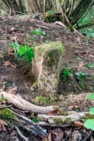 320 m
Deserted Settlements
Zisterzienser Grangie Gessüfel
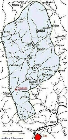 340 m
Roman Long Wall
Reste der heidnischen Langmauer
Field Names
Seelborn
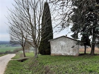 390 m
Chapels
Dohlerkapelle (1)
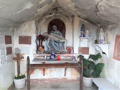 390 m
Chapels
Dohlerkapelle (2)
 390 m
Wayside Shrines and Stations of the Cross