Farmhouses and Farm Buildings · Baroque / Rococo
Hofgut


© GeoBasis-DE / LVermGeoRP, dl-de/by-2-0
There is no picture of this object yet. Do you have a photo that you would like to make available to the Kulturdatenbank? Submit a picture
Description
This description is only available in German.
Translate with Google opens this page in Google Translate (external service)
Hofanlage, 18. Jahrhundert; Kernbau älter, Umbau um 1830, Erweiterung um 1900. [1]
Classification
- Subject area
- Architectural and Art Monuments
- Category
- Residential and Farm Buildings
- Object type
- Farmhouses and Farm Buildings
- Date
- 18. Jahrhundert
- Period
- Baroque / Rococo
Location
- District
- Trier-Saarburg
- Collective municipality
- Schweich an der römischen Weinstraße
- Municipality
- Longuich
- Street
- Maximinstraße 7
- Field name
- Ortslage
- Coordinates
- WGS 84: 49.807936, 6.770659 (Position: exact) WGS 84: 49° 48′ 28.6″ N, 6° 46′ 14.4″ E UTM 32 (ETRS89): E 339601 · N 5519661
Sources
Data sources
- [1] Seite „Liste der Kulturdenkmäler in Longuich“. In: Wikipedia – Die freie Enzyklopädie. Bearbeitungsstand: 6. August 2024, 18:31 UTC. URL: https://de.wikipedia.org/w/index.php?title=Liste_der_Kulturdenkm%C3… (Abgerufen: 15. April 2025, 09:09 UTC)
On the internet
Last edited: 15 Apr 2025 Object ID: 55816
https://kulturdb.de/en/objekt/55816-longuich-hofgut
Nearby
The nearest objects
Rectories
Küsterhaus
Catholic Churches
Sankt Laurentius - Friedhofstor
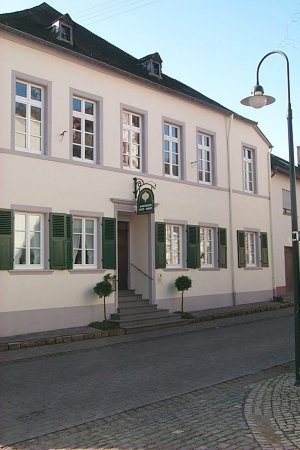 30 m
Manorial Residences and Estate Buildings
Hof der Kratz von Scharfenstein
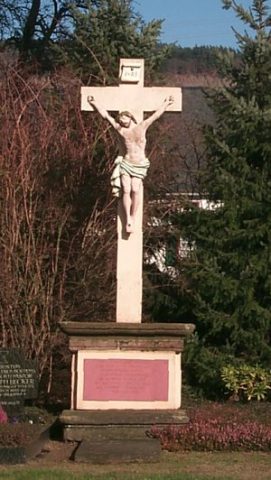 40 m
War Memorials
Sankt Laurentius - Friedhofskreuz
Farmhouses and Farm Buildings
Pfarrhof
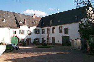 60 m
Farmhouses and Farm Buildings
Ehemaliger Hof der Abtei Sankt Maximin
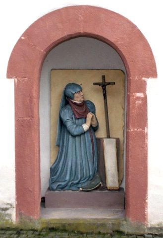 60 m
Catholic Churches
Sankt Laurentius - Longuicher Eulchen
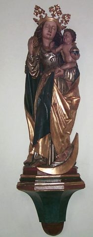 60 m
Works of Art