Farmhouses and Farm Buildings · Undated
Dreiseithof


Classification
- Subject area
- Architectural and Art Monuments
- Category
- Residential and Farm Buildings
- Object type
- Farmhouses and Farm Buildings
- Date
- Undatiert
- Period
- Undated
Location
- District
- Bernkastel-Wittlich
- Collective municipality
- Verbandsfreie Gemeinde Wittlich
- Town
- Wittlich
- Locality / location
- Wengerohr
- Field name
- Ortslage
- Coordinates
- WGS 84: 49.972476, 6.934047 (Position: within the village) WGS 84: 49° 58′ 20.9″ N, 6° 56′ 02.6″ E UTM 32 (ETRS89): E 351860 · N 5537616
Sources
On the internet
Picture credits
Last edited: 9 Sep 2002 Object ID: 5590
https://kulturdb.de/en/objekt/5590-wittlich-dreiseithof
Nearby
The nearest objects
No picture
less than 10 m
Place Names / Local History
Erste Erwähnung als Rora
No picture
40 m
Catholic Churches
Sankt Peter
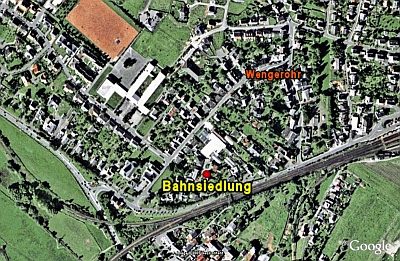 180 m
Historic Townscapes
Bahnsiedlung
No picture
190 m
Field Names
Wegsrech
No picture
200 m
Extraction and Processing of Raw Materials
Ehemalige Kiesgrube
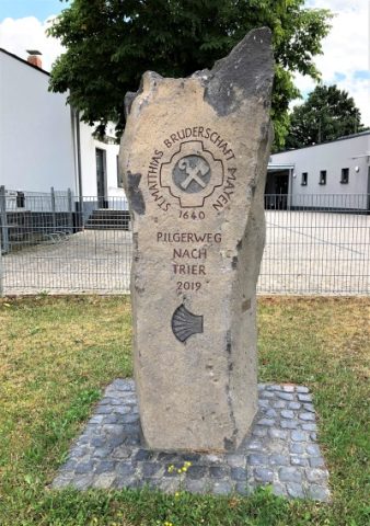 270 m
Pilgrimage Routes
Pilgerstein
No picture
310 m
Field Names
In der Bornwies
No picture
390 m
Field Names