Farmhouses and Farm Buildings · Early Middle Ages / Romanesque
Hof des Klosters Pfalzel


© GeoBasis-DE / LVermGeoRP, dl-de/by-2-0
There is no picture of this object yet. Do you have a photo that you would like to make available to the Kulturdatenbank? Submit a picture
Classification
- Subject area
- Architectural and Art Monuments
- Category
- Residential and Farm Buildings
- Object type
- Farmhouses and Farm Buildings
- Date
- 732/33
Location
- District
- Bernkastel-Wittlich
- Collective municipality
- Traben-Trarbach
- Municipality
- Enkirch
- Street
- Zum Herrenberg / Drillesgasse
- Field name
- Ortslage
- Coordinates
- WGS 84: 49.982189, 7.125046 (Position: exact) WGS 84: 49° 58′ 55.9″ N, 7° 07′ 30.2″ E UTM 32 (ETRS89): E 365582 · N 5538335
Sources
Data sources
- Historische Enkircher Weinhöfe und Güter. Von Hans Immich-Spier in Anchiriacum - Enkirch 733 - 1983
On the internet
Last edited: 23 Sep 2002 Object ID: 5632
https://kulturdb.de/en/objekt/5632-enkirch-hof-des-klosters-pfalzel
Nearby
The nearest objects
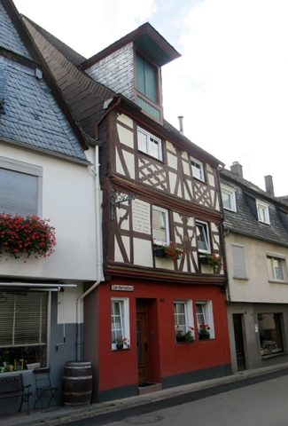 10 m
Town Houses and Commercial Buildings
Wohnhaus
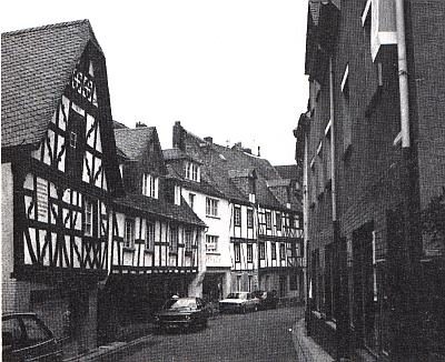 30 m
Farmhouses and Farm Buildings
Fachwerkhaus Hillenhof
40 m
Farmhouses and Farm Buildings
Fachwerkhaus
 60 m
Farmhouses and Farm Buildings
Kurtrierischer Hof
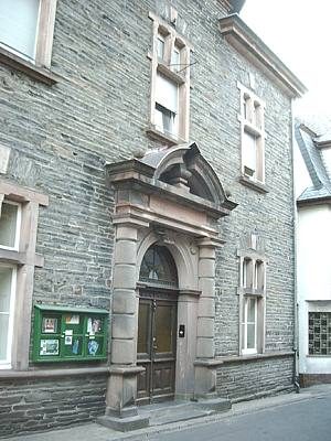 60 m
Town Halls
Ehemaliges Rathaus
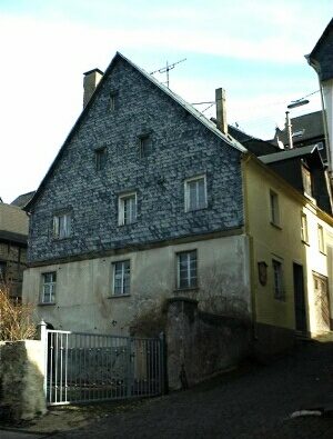 60 m
Farmhouses and Farm Buildings
Ehemaliger Hof der Abtei Springiersbach
No picture
70 m
Town Houses and Commercial Buildings
Wohnhaus
No picture
80 m
Farmhouses and Farm Buildings