Natural Fortresses · Prehistory / Early History
Ferschweiler Plateau
Abschnitt 23

Description
This description is only available in German.
Translate with Google opens this page in Google Translate (external service)
Abschnitt ist durch zerklüftete steile Felsen natürlich gesichert. [1]
Classification
- Subject area
- Archaeological Monuments
- Object type
- Natural Fortresses
- Date
- Circa 750 vor Chr. bis circa 450 vor Chr.
Location
- District
- Eifelkreis Bitburg-Prüm
- Collective municipality
- Südeifel
- Municipality
- Bollendorf
- Field name
- Zimmerbüsch
- Coordinates
- WGS 84: 49.856457, 6.376544 (Position: exact) WGS 84: 49° 51′ 23.2″ N, 6° 22′ 35.6″ E UTM 32 (ETRS89): E 311436 · N 5525972
Sources
Data sources
- [1] Vor- und frühgeschichtliche Burgwälle des Regierungsbezirkes Trier und des Kreises Birkenfeld. Von Karl-Heinz Koch und Reinhard Schindler. Selbstverlag des Rheinischen Landesmuseums Trier 1994. Online-Shop: www.landesmuseum-trier-shop.de
On the internet
Picture credits
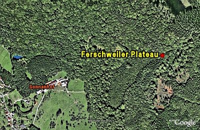
- Picture 1: Google Earth
Last edited: 27 Dec 2007 Object ID: 5702
https://kulturdb.de/en/objekt/5702-bollendorf-ferschweiler-plateau
Nearby
The nearest objects
No picture
10 m
Rocks
Bildcheslay - 3. Abschnitt
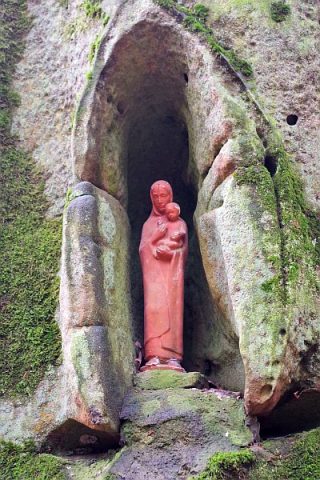 150 m
Wayside Shrines and Stations of the Cross
Bildcheslay
No picture
210 m
Rocks
Felsformation Artistenplatz
 250 m
Natural Fortresses
Ferschweiler Plateau
No picture
290 m
Entrenchments
Steinwallanlage
No picture
340 m
Field Names
Kirchenheck
No picture
350 m
Fortresses and Bunkers
Westwall - Schartenstand
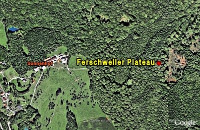 370 m
Natural Fortresses