Natural Fortresses · Prehistory / Early History
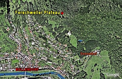
Ferschweiler Plateau
Abschnitt 26a

Description
This description is only available in German.
Translate with Google opens this page in Google Translate (external service)
Zwischen der zum Teil abgetragenen Hanghalde Abschnitte einer Randbefestigung. [1]
Classification
- Subject area
- Archaeological Monuments
- Object type
- Natural Fortresses
- Date
- Circa 750 vor Chr. bis circa 450 vor Chr.
Location
- District
- Eifelkreis Bitburg-Prüm
- Collective municipality
- Südeifel
- Municipality
- Bollendorf
- Field name
- Im Kahlweg
- Coordinates
- WGS 84: 49.859583, 6.363592 (Position: exact) WGS 84: 49° 51′ 34.5″ N, 6° 21′ 48.9″ E UTM 32 (ETRS89): E 310518 · N 5526352
Sources
Data sources
- [1] Vor- und frühgeschichtliche Burgwälle des Regierungsbezirkes Trier und des Kreises Birkenfeld. Von Karl-Heinz Koch und Reinhard Schindler. Selbstverlag des Rheinischen Landesmuseums Trier 1994. Online-Shop: www.landesmuseum-trier-shop.de
On the internet
Picture credits
- Picture 1: Google Earth
Last edited: 27 Dec 2007 Object ID: 5703
https://kulturdb.de/en/objekt/5703-bollendorf-ferschweiler-plateau
Nearby
The nearest objects
No picture
140 m
Fortresses and Bunkers
Westwall - Bunker ohne Kampfraum
 150 m
Natural Fortresses
Ferschweiler Plateau - Ossenlei
No picture
160 m
Rocks
Ossenlay
No picture
160 m
Fortresses and Bunkers
Westwall - Artillerie Beobachter-Stand
 190 m
Natural Fortresses
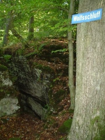
Ferschweiler Plateau - Wolfsschluff
No picture
190 m
Viewpoints
Aussichtspunkt Fahnenstange
No picture
200 m
Rocks
Wolfsschluff
 220 m
Extraction and Processing of Raw Materials