Farmhouses and Farm Buildings · Historicism / Art Nouveau
Dreiseithof
- Listed monument


© GeoBasis-DE / LVermGeoRP, dl-de/by-2-0
There is no picture of this object yet. Do you have a photo that you would like to make available to the Kulturdatenbank? Submit a picture
Classification
- Subject area
- Architectural and Art Monuments
- Category
- Residential and Farm Buildings
- Object type
- Farmhouses and Farm Buildings
- Date
- 1851
Location
- District
- Trier-Saarburg
- Collective municipality
- Schweich an der römischen Weinstraße
- Municipality
- Köwerich
- Street
- Kapellenstraße 1
- Field name
- Ortslage
- Coordinates
- WGS 84: 49.839606, 6.873273 (Position: exact) WGS 84: 49° 50′ 22.6″ N, 6° 52′ 23.8″ E UTM 32 (ETRS89): E 347083 · N 5522967
Sources
Data sources
- [1} Seite „Liste der Kulturdenkmäler in Köwerich“. In: Wikipedia – Die freie Enzyklopädie. Bearbeitungsstand: 26. Januar 2024, 11:46 UTC. URL: https://de.wikipedia.org/w/index.php?title=Liste_der_Kulturdenkm%C3… (Abgerufen: 24. Mai 2025, 14:06 UTC)
On the internet
Last edited: 24 May 2025 Object ID: 57165
https://kulturdb.de/en/objekt/57165-koewerich-dreiseithof
Nearby
The nearest objects
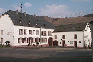 60 m
Exhibitions, Cultural Centres and Memorial Sites
Beethovenhaus
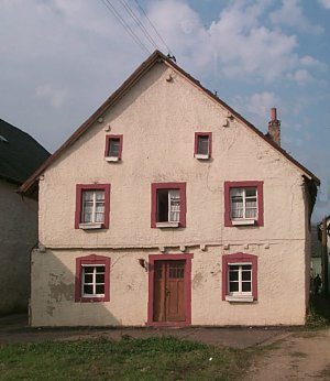 70 m
Farmhouses and Farm Buildings
Bauernhaus
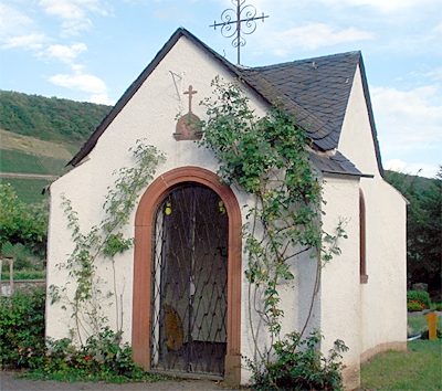 100 m
Wayside Shrines and Stations of the Cross
Friedhofskapelle
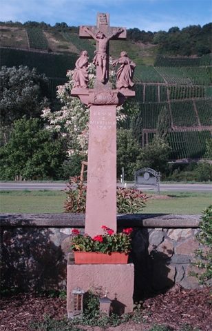 110 m
Wayside Shrines and Stations of the Cross
Kreuzigungsbildstock
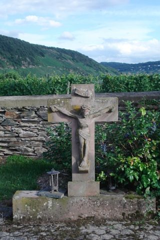 110 m
Wayside Shrines and Stations of the Cross
Sandsteinkreuz
No picture
140 m
Schools
Alte Schule
No picture
150 m
Farmhouses and Farm Buildings
Quereinhaus
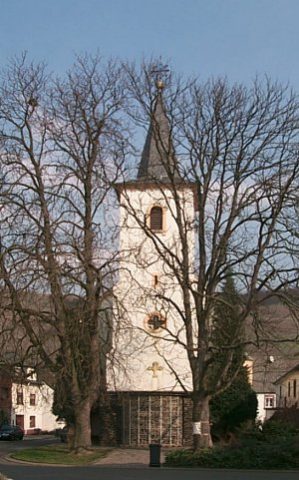 170 m
Catholic Churches