Wayside Shrines and Stations of the Cross · Baroque / Rococo
Barockes Schaftkreuz


© GeoBasis-DE / LVermGeoRP, dl-de/by-2-0
There is no picture of this object yet. Do you have a photo that you would like to make available to the Kulturdatenbank? Submit a picture
Classification
- Subject area
- Architectural and Art Monuments
- Category
- Religious Buildings
- Object type
- Wayside Shrines and Stations of the Cross
- Date
- 17. oder 18. Jahrhundert
- Period
- Baroque / Rococo
Location
- District
- Eifelkreis Bitburg-Prüm
- Collective municipality
- Bitburger Land
- Municipality
- Idenheim
- Street
- Vor Brunnenweg 7 A
- Field name
- Ortslage
- Coordinates
- WGS 84: 49.897450, 6.571722 (Position: exact) WGS 84: 49° 53′ 50.8″ N, 6° 34′ 18.2″ E UTM 32 (ETRS89): E 325611 · N 5530056
Sources
Data sources
- [1] Seite „Liste der Kulturdenkmäler in Idenheim“. In: Wikipedia – Die freie Enzyklopädie. Bearbeitungsstand: 16. Oktober 2023, 05:20 UTC. URL: https://de.wikipedia.org/w/index.php?title=Liste_der_Kulturdenkm%C3… (Abgerufen: 3. Oktober 2025, 08:12 UTC)
On the internet
Last edited: 3 Oct 2025 Object ID: 57414
https://kulturdb.de/en/objekt/57414-idenheim-barockes-schaftkreuz
Nearby
The nearest objects
 30 m
Chapels
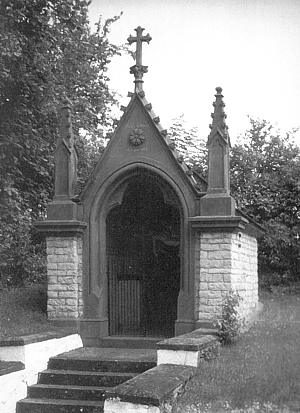
Kapelle am Brunnenberg
No picture
30 m
Farmhouses and Farm Buildings
Wohnhaus
 80 m
Wayside Shrines and Stations of the Cross
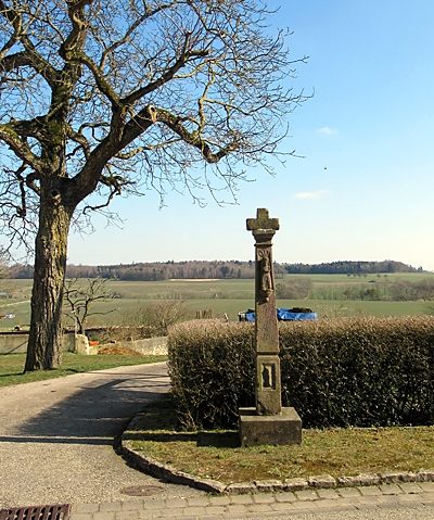
Wegekreuz
 140 m
Catholic Churches
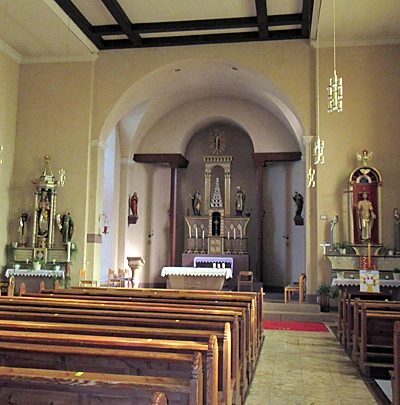
Sankt Nikolaus - Innenausstattung
 150 m
Nativity Scenes
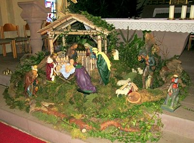
Sankt Nikolaus - Weihnachtskrippe
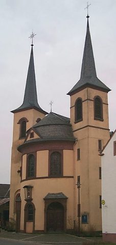 160 m
Catholic Churches
Sankt Nikolaus
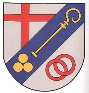 160 m
Place Names / Local History
Erste Erwähnung als ldanheim
160 m
Coats of Arms