Wayside Shrines and Stations of the Cross · Neoclassicism
Reliefiertes Sandsteinkreuz


© GeoBasis-DE / LVermGeoRP, dl-de/by-2-0
There is no picture of this object yet. Do you have a photo that you would like to make available to the Kulturdatenbank? Submit a picture
Classification
- Subject area
- Architectural and Art Monuments
- Category
- Religious Buildings
- Object type
- Wayside Shrines and Stations of the Cross
- Date
- Erste Hälfte des 19. Jahrhunderts
- Period
- Neoclassicism
Location
- District
- Eifelkreis Bitburg-Prüm
- Collective municipality
- Bitburger Land
- Municipality
- Scharfbillig
- Field name
- Auf der Höhe
- Coordinates
- WGS 84: 49.933391, 6.534457 (Position: exact) WGS 84: 49° 56′ 00.2″ N, 6° 32′ 04.0″ E UTM 32 (ETRS89): E 323067 · N 5534139
Sources
Data sources
- [1] Seite „Liste der Kulturdenkmäler in Scharfbillig“. In: Wikipedia – Die freie Enzyklopädie. Bearbeitungsstand: 18. Oktober 2023, 09:02 UTC. URL: https://de.wikipedia.org/w/index.php?title=Liste_der_Kulturdenkm%C3… (Abgerufen: 3. Oktober 2025, 08:49 UTC)
On the internet
Last edited: 3 Oct 2025 Object ID: 57415
https://kulturdb.de/en/objekt/57415-scharfbillig-reliefiertes-sandsteinkreuz
Nearby
The nearest objects
No picture
180 m
Field Names
Auf dem Kiemen
No picture
600 m
Field Names
Auf dem Kiemen
No picture
720 m
Settlements
Römische Siedlung
 950 m
Settlements
Römische Siedlungsstelle
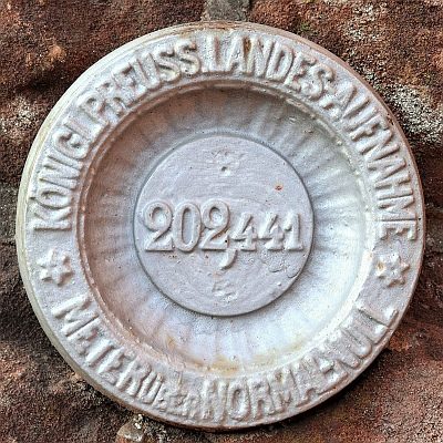 950 m
Surveying
Nivellements-Nummernbolzen
No picture
1.0 km
Cremation Graves
Römisches Brandgräberfeld
1.1 km
Surveying
Nivellements-Nummernbolzen
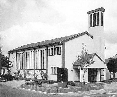 1.1 km
Chapels