Fortresses and Bunkers · 20th Century
Felsenstollen als Luftschutzraum


© GeoBasis-DE / LVermGeoRP, dl-de/by-2-0
There is no picture of this object yet. Do you have a photo that you would like to make available to the Kulturdatenbank? Submit a picture
Description
This description is only available in German.
Translate with Google opens this page in Google Translate (external service)
In der Felswand gibt es mehrere im 2. Weltkrieg als Luftschutzbunker angelegte Stollen. [1]
Privatgelände, nicht öffentlich zugänglich. [Anm. d. Red.]
Classification
- Subject area
- Architectural and Art Monuments
- Object type
- Fortresses and Bunkers
- Date
- 1939 - 1945
- Period
- 20th Century
Location
- District
- City of Trier
- Collective municipality
- Verbandsfreie Gemeinde Trier
- Town
- Trier
- Locality / location
- Trier-West/Pallien
- Street
- Hinter Bitburger Straße 32
- Field name
- Ortslage
- Coordinates
- WGS 84: 49.767234, 6.625833 (Position: exact) WGS 84: 49° 46′ 02.0″ N, 6° 37′ 33.0″ E UTM 32 (ETRS89): E 329038 · N 5515456
Sources
Data sources
- [1] Lothar Zimmer, Trierweiler-Sirzenich und Köln, 2025.
On the internet
Last edited: 21 Nov 2025 Object ID: 57427
https://kulturdb.de/en/objekt/57427-trier-west-pallien-felsenstollen-als-luftschutzraum
Nearby
The nearest objects
Vineyard Sites
Im Wingert
Road Transport
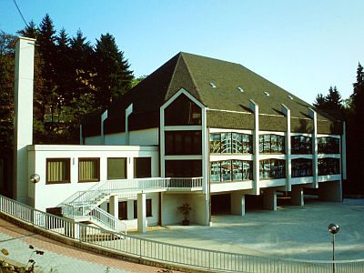
Rotport - Durchstich
 80 m
Churches
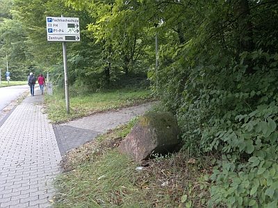
Neuapostolische Kirche
 80 m
Surveying
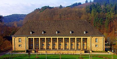
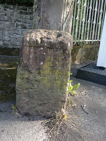
Historischer Wegestein an der Bitburger Straße
 100 m
Recreation and Sports Facilities
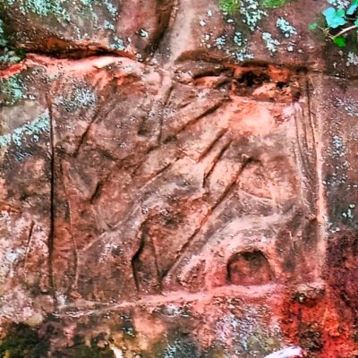
Hochschule Schneidershof - Turnhalle
 150 m
Markers and Monuments
Felszeichnung der großen Sandhöhle
 260 m
Surveying
Historischer Wegestein
Field Names