Natural Fortresses · Prehistory / Early History
Ferschweiler Plateau - Kläus´ches
Abschnitt 2


© GeoBasis-DE / LVermGeoRP, dl-de/by-2-0
There is no picture of this object yet. Do you have a photo that you would like to make available to the Kulturdatenbank? Submit a picture
Description
This description is only available in German.
Translate with Google opens this page in Google Translate (external service)
Hohe Felswände bieten auf einer Länge von 750 Meter einen natürlichen Angriffsschutz. Gelegentlich sind Spuren einer künstlichen Abriegelung zwischen stark zergliederten Felspartien sichtbar. [1]
Classification
- Subject area
- Archaeological Monuments
- Object type
- Natural Fortresses
- Date
- Circa 750 vor Chr. bis circa 450 vor Chr.
Location
- District
- Eifelkreis Bitburg-Prüm
- Collective municipality
- Südeifel
- Municipality
- Schankweiler
- Field name
- Auf dem Kläuschesberg
- Coordinates
- WGS 84: 49.883623, 6.380637 (Position: exact) WGS 84: 49° 53′ 01.0″ N, 6° 22′ 50.3″ E UTM 32 (ETRS89): E 311836 · N 5528982
Sources
Data sources
- [1] Vor- und frühgeschichtliche Burgwälle des Regierungsbezirkes Trier und des Kreises Birkenfeld. Von Karl-Heinz Koch und Reinhard Schindler. Selbstverlag des Rheinischen Landesmuseums Trier 1994. Online-Shop: www.landesmuseum-trier-shop.de
On the internet
Last edited: 11 Nov 2002 Object ID: 5745
https://kulturdb.de/en/objekt/5745-schankweiler-ferschweiler-plateau-klaeus-ches
Nearby
The nearest objects
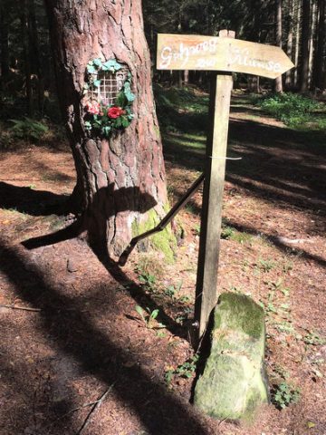 400 m
Marian Grottoes
Schankweiler Klause - Mariengrotte in einem Baum
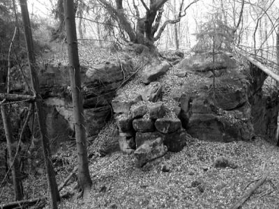 430 m
Natural Fortresses
Ferschweiler Plateau - Schlucht südlich der Klause
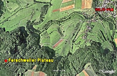 490 m
Natural Fortresses
Ferschweiler Plateau
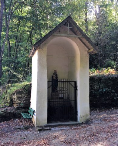 490 m
Chapels
Schankweiler Klause - Wegehäuschen
 490 m
Pilgrimage Sites
Schankweiler Klause - Wallfahrtskapelle Mariahilf
Parish and Monastery Gardens
Schankweiler Klause - ehemaliger Garten
 500 m
Hermitages
Schankweiler Klause - ehemaliges Eremitorium
Field Names