Extraction and Processing of Raw Materials · Historicism / Art Nouveau
Gewinnung von Scheuersand


© GeoBasis-DE / LVermGeoRP, dl-de/by-2-0
There is no picture of this object yet. Do you have a photo that you would like to make available to the Kulturdatenbank? Submit a picture
Description
This description is only available in German.
Translate with Google opens this page in Google Translate (external service)
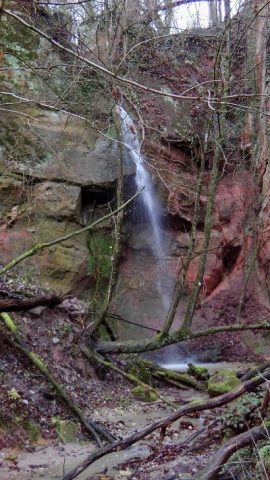
Wenn man unter dem Wasserfall im Gillenbachtal steht, liegt links in der Felswand auf halber Höhe eine kleine Höhle in der Quarzsand, auch „Silbersand“ genannt, gewonnen wurde. Bis ins 20. Jahrhundert hinein wurde der Scheuersand zum reinigen von Dielen, und Steinfußböden genutzt.
Die Höhle ist verfallen und nicht mehr zugänlich. [1]
Classification
- Subject area
- Architectural and Art Monuments
- Category
- Economy, Trade and Transport
- Object type
- Extraction and Processing of Raw Materials
- Date
- Bis ins 20. Jahrhundert
Location
- District
- City of Trier
- Collective municipality
- Verbandsfreie Gemeinde Trier
- Town
- Trier
- Locality / location
- Trier-West/Pallien
- Field name
- Bei der Gillenbach
- Coordinates
- WGS 84: 49.766813, 6.622216 (Position: exact) WGS 84: 49° 46′ 00.5″ N, 6° 37′ 20.0″ E UTM 32 (ETRS89): E 328776 · N 5515418
Sources
Data sources
- © Lothar Zimmer, Trierweiler-Sirzenich und Köln, 2025.
On the internet
Last edited: 3 Dec 2025 Object ID: 57462
https://kulturdb.de/en/objekt/57462-trier-west-pallien-gewinnung-von-scheuersand
Nearby
The nearest objects
Caves
Elsa- oder Totenkopfhöhle als Übungsplatz
 10 m
Rocks
Sandsteinfelsengruppe und Wasserfall
 30 m
Caves
Elsa- oder Totenkopfhöhle - Die große Sandhöhle
 30 m
Caves
Elsa- oder Totenkopfhöhle - Fratzen am Eingang
 30 m
Caves
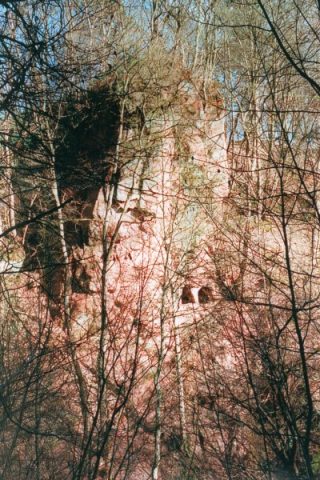
Elsa- oder Totenkopfhöhle - Raubtierkopf
 30 m
Caves
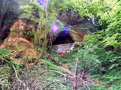
Zwillingshöhle
 40 m
Extraction and Processing of Raw Materials
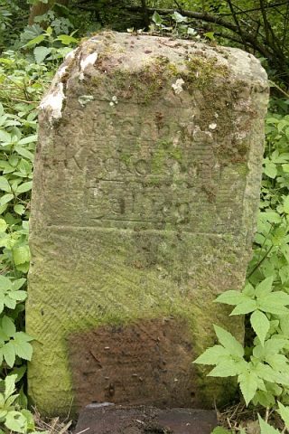
Elsa- oder Totenkopfhhöhle
 80 m
Surveying