Fountains and Wells · 20th Century
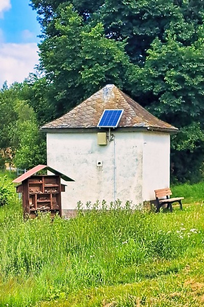
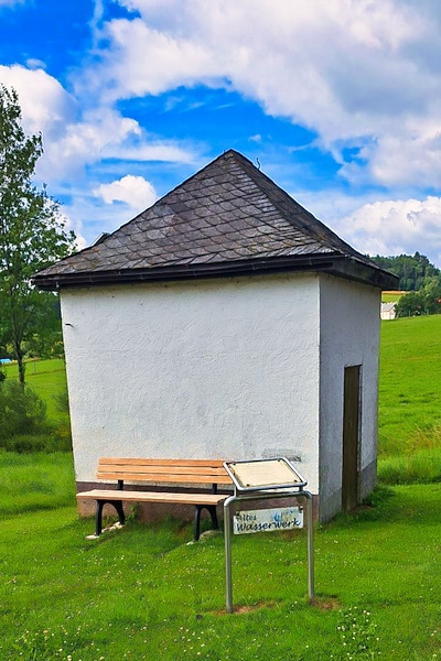
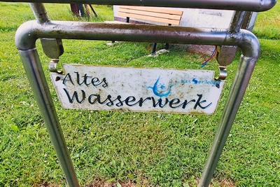
Ehemalige Pumpstation
Description
This description is only available in German.
Translate with Google opens this page in Google Translate (external service)
Pumpstation. Gebaut im Jahre 1939. Betrieben zuerst von der Gemeinde, später vom Kreiswasserwerk. Stillgelegt ca. 1980. Seit 2012 wieder Gemeindeeigentum. [1]
Classification
- Subject area
- Architectural and Art Monuments
- Category
- Fountains and Wells
- Date
- 1939
- Period
- 20th Century
Location
- District
- Eifelkreis Bitburg-Prüm
- Collective municipality
- Bitburger Land
- Municipality
- Neuheilenbach
- Field name
- Im Heilenbacher Sprung
- Coordinates
- WGS 84: 50.109916, 6.564244 (Position: exact) WGS 84: 50° 06′ 35.7″ N, 6° 33′ 51.3″ E UTM 32 (ETRS89): E 325844 · N 5553693
Sources
Data sources
- [1] Info-Tafel vor dem Gebäude.
On the internet
Picture credits
Last edited: 11 Jan 2026 Object ID: 57484
https://kulturdb.de/en/objekt/57484-neuheilenbach-ehemalige-pumpstation
Nearby
The nearest objects
 210 m
War Memorials
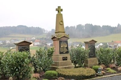
Kriegerdenkmal (1)
 210 m
War Memorials
Kriegerdenkmal (2)
Temples, Sanctuaries
Tempelanlage
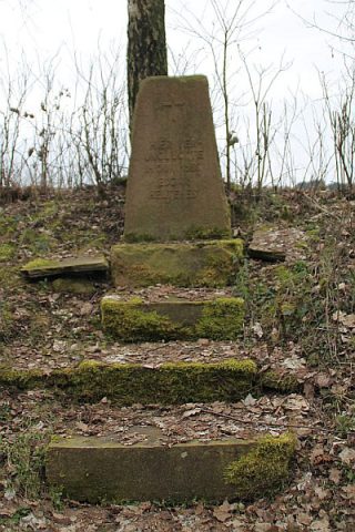 300 m
Monuments
Gedenkstein
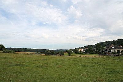 300 m
Settlements
Römische Siedlung
Settlements
Römische Siedlungsstelle
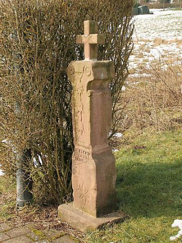 320 m
Wayside Shrines and Stations of the Cross
Barockes Schaftkreuz
Field Names