Parish and Monastery Gardens · Neoclassicism
Bischofseiche


© GeoBasis-DE / LVermGeoRP, dl-de/by-2-0
There is no picture of this object yet. Do you have a photo that you would like to make available to the Kulturdatenbank? Submit a picture
Classification
- Subject area
- Natural Features
- Category
- Parks, Gardens and Cemeteries
- Object type
- Parish and Monastery Gardens
- Date
- Circa 1780 bis 1850
- Period
- Neoclassicism
Location
- District
- City of Trier
- Collective municipality
- Verbandsfreie Gemeinde Trier
- Town
- Trier
- Locality / location
- Mitte-Gartenfeld
- Street
- Liebfrauenstraße 1
- Field name
- Ortslage
- Coordinates
- WGS 84: 49.755326, 6.643135 (Position: presumed) WGS 84: 49° 45′ 19.2″ N, 6° 38′ 35.3″ E UTM 32 (ETRS89): E 330243 · N 5514093
Sources
Data sources
- Karl-Josef Prüm / Dr, Fritz Fandereiche:
- Uralte Eichen im Trierer Land schreiben Geschichte. S/T Verlag Trier
On the internet
Last edited: 13 Apr 2026 Object ID: 57625
https://kulturdb.de/en/objekt/57625-trier-bischofseiche
Nearby
The nearest objects
No picture
20 m
Road Transport
Reste einer römischen Straße
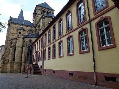 20 m
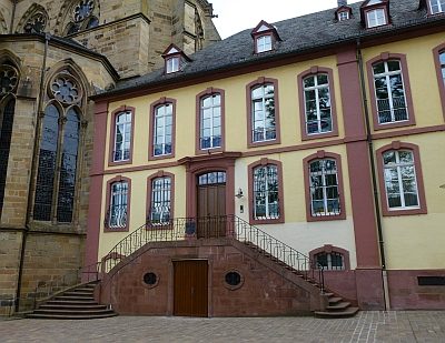
Manorial Residences and Estate Buildings
Bischofshof
No picture
30 m
Chapels
Ehemalige Sankt Stephan-Kapelle
 30 m
Canons' Houses (Curiae)
Bischofshof - Ehemalige Georgskurie
 40 m
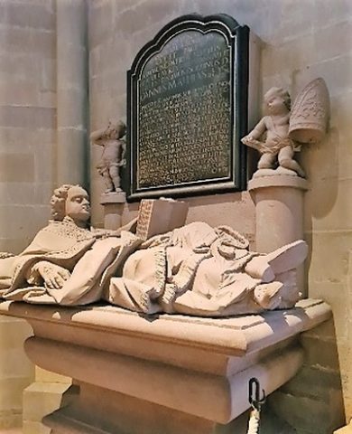
Epitaphs
Liebfrauenkirche - Grabdenkmal von Eiß
 40 m
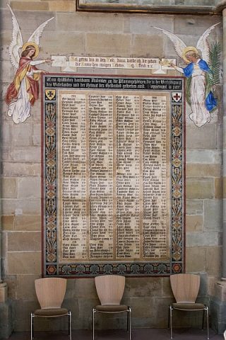
War Memorials
Liebfrauenkirche - Ehrentafel
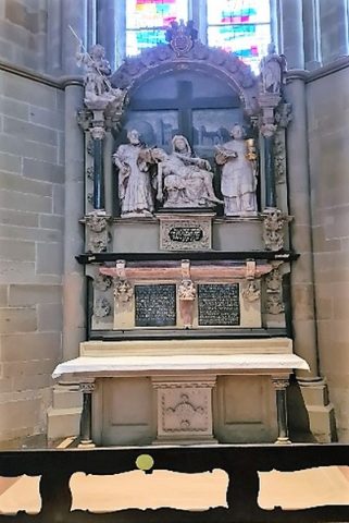 40 m
Epitaphs
Liebfrauenkirche - Grabdenkmal von Horst
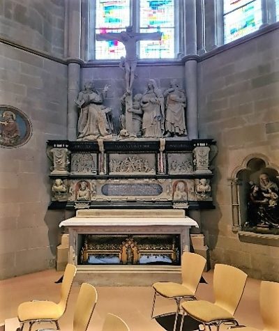 40 m
Epitaphs