Settlements · Celtic / Roman Period
Höhenbefestigung auf der sogenannten Colai


© GeoBasis-DE / LVermGeoRP, dl-de/by-2-0
There is no picture of this object yet. Do you have a photo that you would like to make available to the Kulturdatenbank? Submit a picture
Description
This description is only available in German.
Translate with Google opens this page in Google Translate (external service)
271 m über NHN.
... Weiter oberhalb auf der Kuppe der "Colai" könnte, wie Ziegelfunde vermuten lassen, eine spätantike Höhenbefestigung gelegen haben. [1]
Classification
- Subject area
- Archaeological Monuments
- Category
- Settlements
- Object type
- Settlements
- Date
- 4 bis 5 Jahrhundert nach Chr.
- Period
- Celtic / Roman Period
Location
- District
- Bernkastel-Wittlich
- Collective municipality
- Traben-Trarbach
- Municipality
- Kinheim
- Field name
- Mötschenkopf
- Coordinates
- WGS 84: 49.979050, 7.052360 (Position: presumed) WGS 84: 49° 58′ 44.6″ N, 7° 03′ 08.5″ E UTM 32 (ETRS89): E 360362 · N 5538119
Sources
Data sources
- [1] Gilles, Karl-Josef: Bacchus und Sucellus: 2000 Jahre römische Weinkultur an Mosel und Rhein. Rhein-Mosel-Verlag, 1999.
- [2] Zeitstellung und Lage: Guenter Hauenstein: Geschichte & Baudenkmäler (Mosel/Eifel/Hunsrück) http://www.guenter-hauenstein.de/dehio/histk.html Abgerufen: 20.09.2026
On the internet
Last edited: 20 Sep 2026 Object ID: 57743
https://kulturdb.de/en/objekt/57743-kinheim-hoehenbefestigung-auf-der-sogenannten-colai
Nearby
The nearest objects
Vineyard Sites
Pichter
Wayside Shrines and Stations of the Cross
Wegekreuz
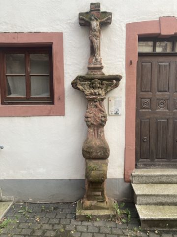 530 m
Wayside Shrines and Stations of the Cross
Wegekreuz Kees
Castles
Ehemaliges Burghaus - Gebäudeteil Burgstraße 54
Castles
Ehemaliges Burghaus - Gebäudeteil Burgstraße 52
Farmhouses and Farm Buildings
Grafenhof
Farmhouses and Farm Buildings
Wohnhaus
Farmhouses and Farm Buildings