Road Transport · Celtic / Roman Period
Römerstraße
- Listed monument

Classification
- Subject area
- Archaeological Monuments
- Category
- Economy, Trade and Transport
- Object type
- Road Transport
- Date
- Circa 500 vor Chr. bis circa 500 nach Chr.
- Period
- Celtic / Roman Period
Location
- District
- Bernkastel-Wittlich
- Collective municipality
- Traben-Trarbach
- Municipality
- Bausendorf
- Locality / location
- Olkenbach
- Field name
- Auf dem Hohlberg
- Coordinates
- WGS 84: 50.025149, 6.985448 (Position: exact) WGS 84: 50° 01′ 30.5″ N, 6° 59′ 07.6″ E UTM 32 (ETRS89): E 355703 · N 5543371
Sources
Data sources
- [1] Digitale TK25. Landesamt für Vermessung und Geobasisinformation Rheinland-Pfalz. 2001 (ISBN 3-89637-345-5)
On the internet
Picture credits
- Picture 1: Igeler Säule (Detail), Nachzeichnung: Rheinisches Landesmusem
Last edited: 13 Aug 2007 Object ID: 5823
https://kulturdb.de/en/objekt/5823-bausendorf-roemerstrasse
Nearby
The nearest objects
No picture
260 m
Field Names
Am Kraugraben
No picture
390 m
Field Names
Im Kraugraben
No picture
410 m
Vineyard Sites
Hubertuslay
No picture
480 m
Vineyard Sites
Hubertuslay
No picture
580 m
Farmhouses and Farm Buildings
Wohnhaus
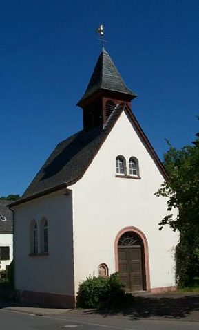 630 m
Catholic Churches
Katholische Filialkirche
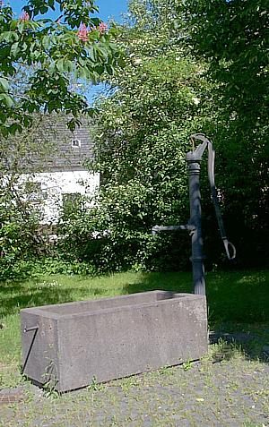 660 m
Fountains and Wells
Dorfbrunnen
No picture
670 m
Vineyard Sites