Burial Mounds · Celtic / Roman Period
Römische Aschenkisten
- Listed monument


© GeoBasis-DE / LVermGeoRP, dl-de/by-2-0
There is no picture of this object yet. Do you have a photo that you would like to make available to the Kulturdatenbank? Submit a picture
Description
This description is only available in German.
Translate with Google opens this page in Google Translate (external service)
Diese kleinen in den Fels eingemeißelten, kistenförmigen Vertiefungen dienten zur Aufnahme von Aschenresten oder Totenurnen (zahlreiche im Wald liegende Objekte). [1]
Classification
- Subject area
- Archaeological Monuments
- Category
- Burials
- Object type
- Burial Mounds
- Date
- Circa 500 vor Chr. bis circa 500 nach Chr.
- Period
- Celtic / Roman Period
Location
- District
- Eifelkreis Bitburg-Prüm
- Collective municipality
- Südeifel
- Municipality
- Holsthum
- Field name
- Am Kläuschesweg
- Coordinates
- WGS 84: 49.882295, 6.398576 (Position: exact) WGS 84: 49° 52′ 56.3″ N, 6° 23′ 54.9″ E UTM 32 (ETRS89): E 313120 · N 5528789
Sources
Data sources
- [1] Kremb/Lautzas: Landesgeschichtlicher Exkursionsführer Rheinland-Pfalz, Bd.2, 1991; Verlag Arbogast, 6756 Otterbach
On the internet
Last edited: 7 Oct 2003 Object ID: 587
https://kulturdb.de/en/objekt/587-holsthum-roemische-aschenkisten
Nearby
The nearest objects
 60 m
Cremation Graves
Brandgräberfeld
 140 m
Burial Mounds
Halbtonnengrab
 150 m
Cremation Graves
Brandgräberfeld
 200 m
Standing Stones, Menhirs
Langenstein
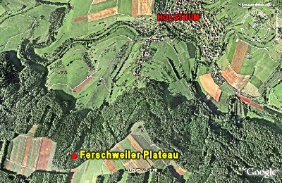 290 m
Natural Fortresses
Ferschweiler Plateau
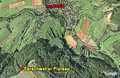 500 m
Natural Fortresses
Ferschweiler Plateau
Settlements
Römische Siedlungsstelle
Settlements