Place Names / Local History · Renaissance
Erste Erwähnung von Reipeldingen


© GeoBasis-DE / LVermGeoRP, dl-de/by-2-0
There is no picture of this object yet. Do you have a photo that you would like to make available to the Kulturdatenbank? Submit a picture
Description
This description is only available in German.
Translate with Google opens this page in Google Translate (external service)
Der kleine Ort Reipeldingen, gelegen in einer Talsenke nördlich von Daleiden, war früher ganz auf die Landwirtschaft ausgerichtet. Der Ort wird erstmals 1625 in Urkunden erwähnt.
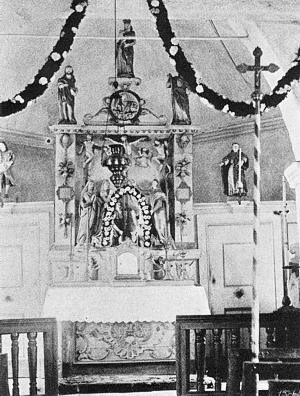
Nach der Pestzeit waren in Reipeldingen noch sechs Vogtgüter bewohnt, aber durch Fleiß und Ausdauer konnte sich das Dorf wieder erholen. Die Kapelle in Reipeldingen wird bereits 1832 urkundlich erwähnt.
Classification
- Subject area
- History
- Category
- Place Names / Local History
- Date
- 1625
- Period
- Renaissance
Location
- District
- Eifelkreis Bitburg-Prüm
- Collective municipality
- Arzfeld
- Municipality
- Reipeldingen
- Field name
- Ortslage
- Coordinates
- WGS 84: 50.082790, 6.179483 (Position: within the village) WGS 84: 50° 04′ 58.0″ N, 6° 10′ 46.1″ E UTM 32 (ETRS89): E 298223 · N 5551646
Sources
Data sources
On the internet
Last edited: 13 Dec 2002 Object ID: 5897
https://kulturdb.de/en/objekt/5897-reipeldingen-erste-erwaehnung-von-reipeldingen
Nearby
The nearest objects
 110 m
Catholic Churches
Mariä Unbefleckte Empfängnis
Chapels
Ehemalige Kapelle
Fortresses and Bunkers
Westwall - Bunker ohne Kampfraum
Field Names
Neigesdell
Chapels
Wegekreuz
Field Names
Steinrausch
Fortresses and Bunkers
Westwall - Bataillons-Befehlsstelle
 550 m
Field Names