Deserted Settlements · Neoclassicism
Mühle


© GeoBasis-DE / LVermGeoRP, dl-de/by-2-0
There is no picture of this object yet. Do you have a photo that you would like to make available to the Kulturdatenbank? Submit a picture
Description
This description is only available in German.
Translate with Google opens this page in Google Translate (external service)
Mühle am Eschenbach, die wegen Wassermangels an die Prüm verlegt werden musste. Heute ist im Gelände noch die Staustufe dieser Mühle sichtbar. [1]
Classification
- Subject area
- Archaeological Monuments
- Category
- Settlements
- Object type
- Deserted Settlements
- Date
- Circa 1750 bis 1850
- Period
- Neoclassicism
Location
- District
- Eifelkreis Bitburg-Prüm
- Collective municipality
- Südeifel
- Municipality
- Holsthum
- Field name
- Ortslage
- Coordinates
- WGS 84: 49.893990, 6.416918 (Position: presumed) WGS 84: 49° 53′ 38.4″ N, 6° 25′ 00.9″ E UTM 32 (ETRS89): E 314482 · N 5530044
Sources
Data sources
- [1] Janssen, W.: Studien zur Wüstungsfrage im fränkischen Altsiedelland zwischen Rhein, Mosel und Eifelnordrand. 2 Bände. Text u. Katalog, 1975.
On the internet
Last edited: 7 Oct 2003 Object ID: 592
https://kulturdb.de/en/objekt/592-holsthum-muehle
Nearby
The nearest objects
 150 m
Settlements
Römische Siedlungsstelle
 230 m
Farmhouses and Farm Buildings
Wohnhaus
 260 m
Place Names / Local History
Erste Erwähnung als Holzheim
 260 m
Extraction and Processing of Raw Materials
Ehemalige Glashütte (1)
 260 m
Pear Trees
Birnbaum
 260 m
Coats of Arms
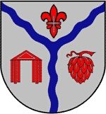
Wappen der Gemeinde Holsthum
 260 m
Extraction and Processing of Raw Materials
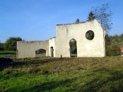
Ehemalige Glashütte (2)
 270 m
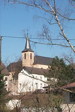
Catholic Churches