Road Transport · Celtic / Roman Period
Römerstraße
- Listed monument

Description
This description is only available in German.
Translate with Google opens this page in Google Translate (external service)
Nördlich der Ortslage zum Pellenberg.
Classification
- Subject area
- Archaeological Monuments
- Category
- Economy, Trade and Transport
- Object type
- Road Transport
- Date
- Circa 500 vor Chr. bis circa 500 nach Chr.
- Period
- Celtic / Roman Period
Location
- District
- Trier-Saarburg
- Collective municipality
- Saarburg-Kell
- Municipality
- Kirf
- Locality / location
- Meurich
- Field name
- Auf der Guckai
- Coordinates
- WGS 84: 49.565512, 6.478362 (Position: exact) WGS 84: 49° 33′ 55.8″ N, 6° 28′ 42.1″ E UTM 32 (ETRS89): E 317667 · N 5493379
Sources
Data sources
- [1] Digitale TK25. Landesamt für Vermessung und Geobasisinformation Rheinland-Pfalz. 2001 (ISBN 3-89637-345-5)
On the internet
saarburg-kell.de/saarburg_kell/Leben%20bei%20uns/Ortsgemeinden/Kirf
Picture credits
- Picture 1: Igeler Säule (Detail), Nachzeichnung: Rheinisches Landesmusem
Last edited: 13 Aug 2007 Object ID: 6256
https://kulturdb.de/en/objekt/6256-kirf-roemerstrasse
Nearby
The nearest objects
No picture
540 m
Forest Names
Michelbüsch
No picture
560 m
Field Names
Im hintersten Breittriesch
No picture
640 m
Field Names
Im Gründchen
No picture
680 m
Field Names
Aufm Rosengarten
No picture
770 m
Field Names
Breittriesch
No picture
820 m
Field Names
Beim Kobenborn
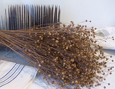 900 m
Field Names
Im Haargarten
No picture
930 m
Field Names