Road Transport · Celtic / Roman Period
Römerstraße
- Listed monument

Description
This description is only available in German.
Translate with Google opens this page in Google Translate (external service)
Westlich der Ortslage am Kahlenberg.
Classification
- Subject area
- Archaeological Monuments
- Category
- Economy, Trade and Transport
- Object type
- Road Transport
- Date
- Circa 500 vor Chr. bis circa 500 nach Chr.
- Period
- Celtic / Roman Period
Location
- District
- Trier-Saarburg
- Collective municipality
- Saarburg-Kell
- Municipality
- Kirf
- Field name
- Winiger Land
- Coordinates
- WGS 84: 49.551337, 6.468591 (Position: exact) WGS 84: 49° 33′ 04.8″ N, 6° 28′ 06.9″ E UTM 32 (ETRS89): E 316908 · N 5491827
Sources
Data sources
- [1] Digitale TK25. Landesamt für Vermessung und Geobasisinformation Rheinland-Pfalz. 2001 (ISBN 3-89637-345-5)
On the internet
saarburg-kell.de/saarburg_kell/Leben%20bei%20uns/Ortsgemeinden/Kirf
Picture credits
- Picture 1: Igeler Säule (Detail), Nachzeichnung: Rheinisches Landesmusem
Last edited: 13 Aug 2007 Object ID: 6257
https://kulturdb.de/en/objekt/6257-kirf-roemerstrasse
Nearby
The nearest objects
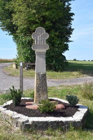 270 m
Wayside Shrines and Stations of the Cross
Schaftkreuz an der ehemaligen Römerstraße
Wayside Shrines and Stations of the Cross
Wegekreuz
Viewpoints
Aussichtspunkt Ehringerberg
Extraction and Processing of Raw Materials
Ehemaliger Steinbruch
Viewpoints
Aussichtspunkt Kahlenberg
Field Names
In der Langfuhr
Field Names
Auf der Huf
Field Names