Deserted Settlements · Gothic
Ortswüstung Gelsdorf


© GeoBasis-DE / LVermGeoRP, dl-de/by-2-0
There is no picture of this object yet. Do you have a photo that you would like to make available to the Kulturdatenbank? Submit a picture
Description
This description is only available in German.
Translate with Google opens this page in Google Translate (external service)
Gelsdorf, partielle Ortswüstung. 1219: Grangiam de Geulistorp. [1]
Classification
- Subject area
- Archaeological Monuments
- Category
- Settlements
- Object type
- Deserted Settlements
- Date
- 1219
- Period
- Gothic
Location
- District
- Eifelkreis Bitburg-Prüm
- Collective municipality
- Bitburger Land
- Municipality
- Gransdorf
- Locality / location
- Gelsdorf
- Field name
- Ortslage
- Coordinates
- WGS 84: 50.008801, 6.666649 (Position: exact) WGS 84: 50° 00′ 31.7″ N, 6° 39′ 59.9″ E UTM 32 (ETRS89): E 332814 · N 5542218
Sources
Data sources
- [1] Janssen, W.: Studien zur Wüstungsfrage im fränkischen Altsiedelland zwischen Rhein, Mosel und Eifelnordrand. 2 Bände. Text u. Katalog, 1975.
On the internet
Last edited: 30 Mar 2001 Object ID: 629
https://kulturdb.de/en/objekt/629-gransdorf-ortswuestung-gelsdorf
Nearby
The nearest objects
Deserted Settlements
Geveldorf – Himmeroder Grangie
Place Names / Local History
Erste Erwähnung als Geuelestorp
 220 m
Chapels
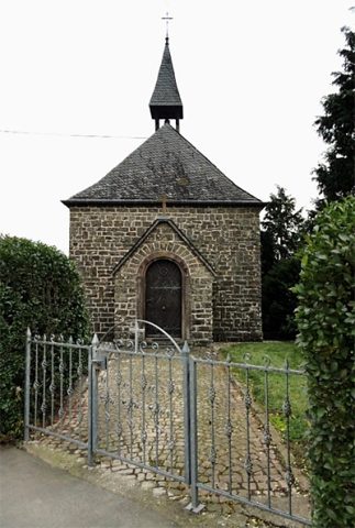
Kapelle Hof Gelsdorf
Field Names
Im Hasenstrick
Lime Kilns
Ehemaliger Kalkofen
Wayside Shrines and Stations of the Cross
Kleines Balkenkreuz
Field Names
Im Tiefenborn
Field Names