Standing Stones, Menhirs · Prehistory / Early History
Menhir


Description
This description is only available in German.
Translate with Google opens this page in Google Translate (external service)
Der Menhir steht an der Straße von Fleringen Richtung Wallersheim in der Einfahrt zum Rasenhof. Er ist ca. 2,50 m hoch.
Classification
- Subject area
- Archaeological Monuments
- Category
- Standing Stones, Menhirs
- Date
- Bis circa 500 vor Chr.
Location
- District
- Eifelkreis Bitburg-Prüm
- Collective municipality
- Prüm
- Municipality
- Fleringen
- Locality / location
- In der Muhl
- Field name
- Auf den Bähnäcker
- Coordinates
- WGS 84: 50.209121, 6.511784 (Position: exact) WGS 84: 50° 12′ 32.8″ N, 6° 30′ 42.4″ E UTM 32 (ETRS89): E 322462 · N 5564845
Sources
Data sources
On the internet
Picture credits
Last edited: 5 May 2011 Object ID: 6391
https://kulturdb.de/en/objekt/6391-fleringen-menhir
Nearby
The nearest objects
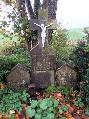 250 m
Wayside Shrines and Stations of the Cross
Wegekreuz
Field Names
Im Nudenborn
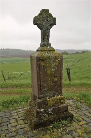 510 m
Wayside Shrines and Stations of the Cross
Sandsteinkreuz
Field Names
Auf dem Geren
Wayside Shrines and Stations of the Cross
Wegekreuz
Field Names
Auf der Rodheck
Field Names
In Schierdell
Wayside Shrines and Stations of the Cross